Foni Kansala is one of the nine districts of the Gambia’s West Coast Region, which is located to the south of the Gambia River in the southwest of the country. Foni Kansala is in the southeast of the division, between Foni Bintang-Karenai and Foni Bondali. This area of the country is prone to illegal deforestation, especially in Rosewood. The area is also prone to wildfires and as a result this has led to scarcity of fresh drinking water. According to Global Forest Watch reports, in 2010, Foni Kansala District has 29.9ha of tree cover, extending over 0.21% of its land area. In 2009, it lost 75.0mha of tree cover, equivalent to 23.0t of CO2 of emissions. In Foni Kansala District, the peak fire season typically begins in mid-February and lasts around 12 weeks. All these factors have made life harder for the indigenous tribes that live within the district, especially when it comes to clean drinking water. Notably the district is dominated by the Jola tribe and a handful of Mandinka tribe.
GIBAGARI VILLAGE (Coordinates: -16.015 13.255) Population: 300
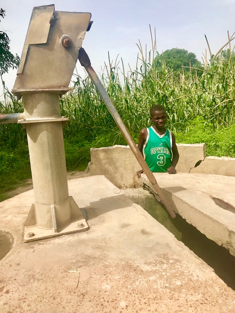
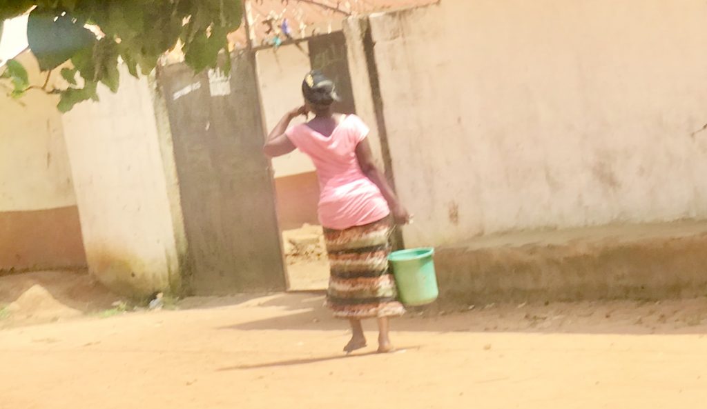
Gibagari is located about 4 KM off the Trans-Gambia south Bank Road via Sangajor. It is a community of about 300 people. The community is primarily made up of the Jola tribe.The village is also home to a small group of Fula herdsmen. The community’s only water source handpump has been broken for along while and as a result they walk miles to nearby villages of Burock and Jomo Kunda to get water, which comes with bullying at times.
We will first dewater and sanitize the well. We will install 8 new stainless-steel pipes with rods, a new conversion head, new pedestal, and check-nuts. The contractor will construct a new trough for the village ruminants to drink from, which will help the community economically. We will also install a handwashing station.
JONYER VILLAGE (Coordinates: -15.986 13.284) Population: 250
This remote village has only one handpump serving the entire village and as a result of the high pressure it keeps breaking down due to poor standard parts and repair. This makes the villagers to use open wells which causes sickness for them. The community is made up of the Jola tribe who survive primarily by way of subsistence farming in groundnuts and palm oil farming.
We will replace the conversion head, install a new cylinder, 7 stainless steel pipes, a handwashing station, and a new concrete slab. The contractor will construct a new water trough for the village ruminants to drink from, which will help the community economically.
KAPPA VILLAGE (Coordinates: -16.100 13.184) Population: 450
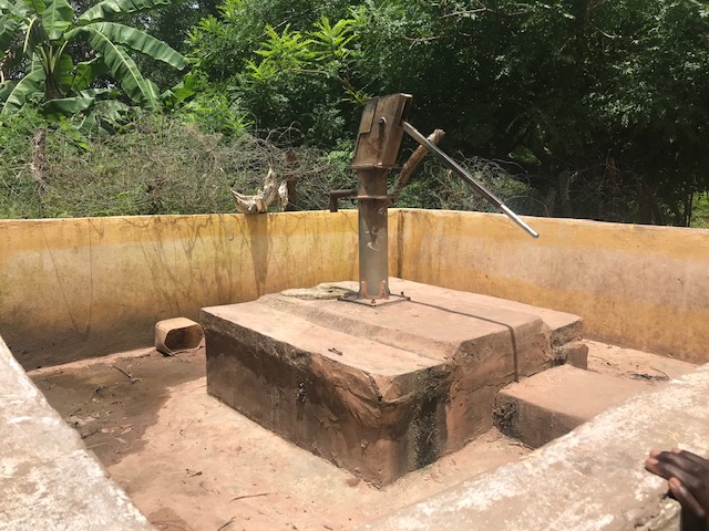
Kappa is located about 4km south of the Trans-Gambia south bank road via Kampant. It is a Jola community of roughly 450 people. It is a subsistence farming community growing groundnut, millet and rice. This community is remote and most often forgotten. It has only one handpump which used to serve the entire community and it broke down overtime. For a long while now, the community is using open wells for drinking and other household activities. It also plays host for several refugees fleeing from Southern Senegalese region of Cassamance. The water crisis in this village is a huge one.
We will install a new cylinder, conversion head, 5 stainless steel pipes, pedestal, tank, concrete slab, and handwashing station. The contractor will construct a new trough for the village ruminants to drink from.
BUJIGA VILLAGE (Coordinates: -16.088, 13.206) Population: 600
Bujiga is located about 6 KM off the Trans-Gambia south Bank Road via Kampant. It is a Jola tribe community of roughly 600 people. It is a subsistence farming community, growing groundnut, millet and rice. The Village has been suffering from lack of water due to the large number of people within the community especially during the rainy season. The current water source is not enough to serve the entire village and as a result some people took to open wells for usage which has resulted in sickness especially among women and children. Due to the in flock of refugees fleeing from Southern Senegalese region of Cassamance which has been fighting for separation from Senegal for the past 35 years, the village is facing severe water shortage.
We will install a new cylinder, new conversion head, bearings and axle, and rod couplings. The contractor will construct a new trough for the village ruminants. We will also construct a handwashing station.
BAJONKOTO VILLAGE (GPS: -16.095, 13.230) Population: 350
This isolated and remote community is a subsistence farming community, growing groundnut and palm wine tapping. It is a Jola and Manjago tribe community. The community has only one water source which has not been functional for a long while and as a result severe water scarcity hits the village resulting to villagers travelling to long distant villages of Saringa and Kurudulai searching for water. Women and girls are currently facing the brunt of taking the long distance. Some accidents have been reported along the road, because they had to cross the busy Trans-Gambia South Bank highway with their buckets to get drinking water.
After dewatering and sanitizing the well, we will install a new cylinder, a new concrete slab, and new stainless-steel rod couplings, and a new conversion head. The contractor will construct a new trough for the village ruminants to drink from, as well as a handwashing station.

This project has been completed. To read about the conclusion of the project, CLICK HERE.
To read details about the Foni Kansala District Rehab Tour – Phase 2, CLICK HERE.
To read details about the Foni Kansala District Rehab Tour – Phase 3, CLICK HERE.