Water Charity announces a new project in Upper Badibu District, North Bank Region in The Gambia as part of its Water For Everyone – The Gambia program.
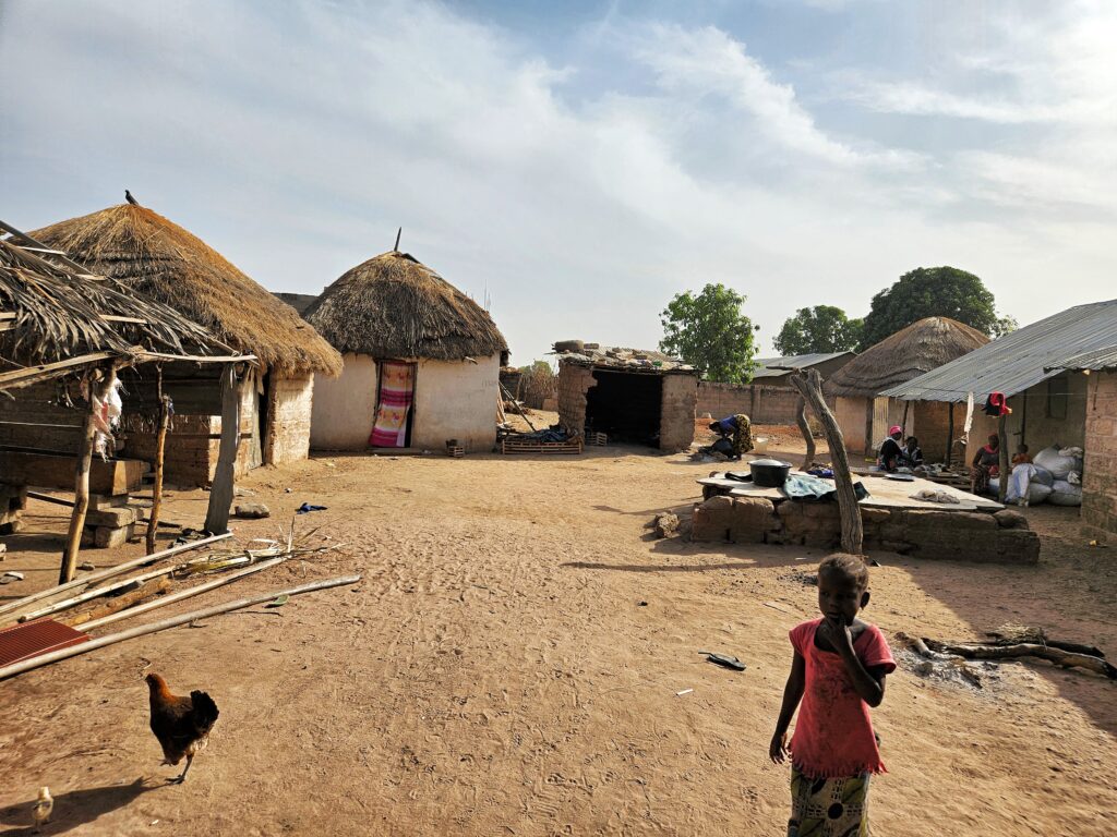
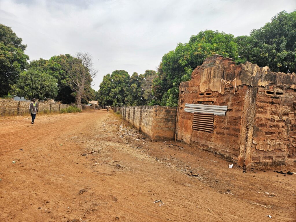
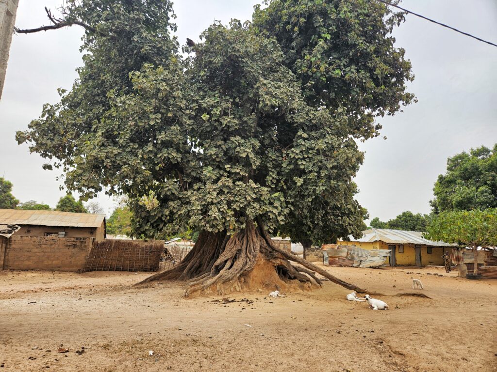
The North Bank Region is one of the seven administrative regions of The Gambia, with a land area of 2,256 square kilometers and a population of 250,000. Its capital is Kerewan. The region consists of 335 villages and 31 wards, divided into six constituencies. It is a savannah grassland, but unfortunately, its tree cover has decreased significantly over the past few decades. This is not helpful, particularly because the Sahara desert is moving southward and encroaching on southern states like Senegal, Mali, and Gambia.
According to a report by Global Forest Watch, the North Bank Region had 970 hectares of tree cover, which accounted for 0.43% of its land area in 2010. However, in 2022, the region lost 1 ha of tree cover, which is equivalent to 1.11 kt of CO2 emissions. The region is primarily dependent on subsistence farming, with most farmers cultivating groundnut and pumpkin as their primary cash crops, especially in the Upper Badibu District. The population density of the region is 98.01 persons per square kilometer. Unfortunately, the poverty gap ratio is 33.2 percent, and the literacy rate is 59.8 percent, which is lower than the national average of 62.9 percent. Additionally, water sanitation and hygiene, particularly water shortage, remains a major challenge for communities across the region.
- JUMANSARR BA VILLAGE
GPS: N13°32.810 W015°45.142, Population: 900
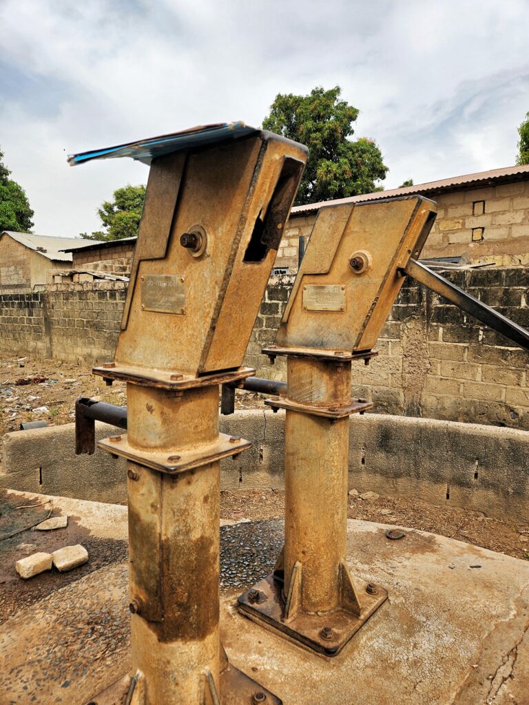
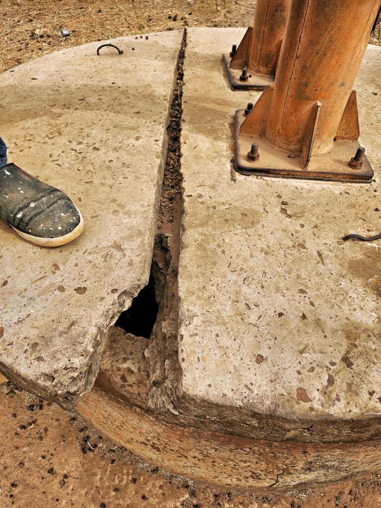
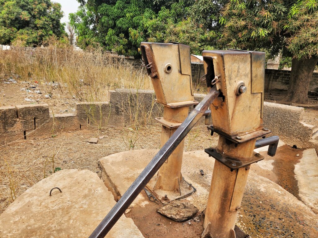
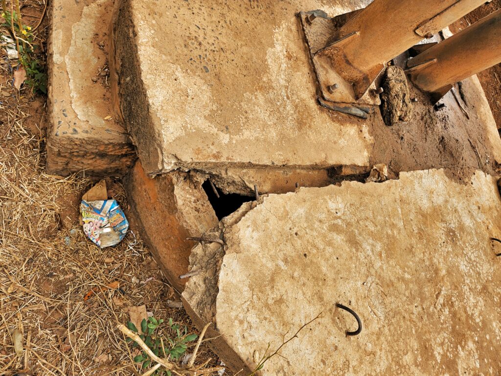
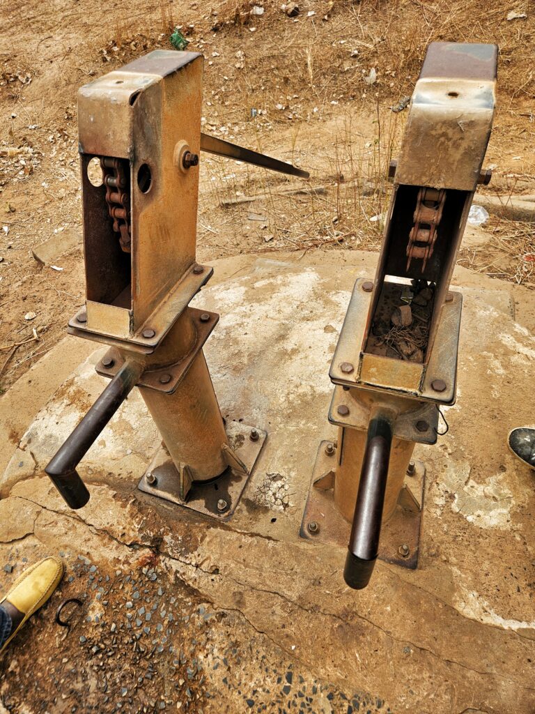
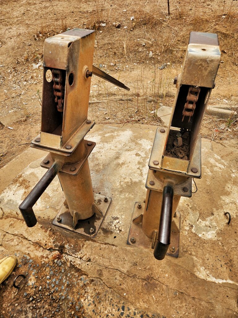
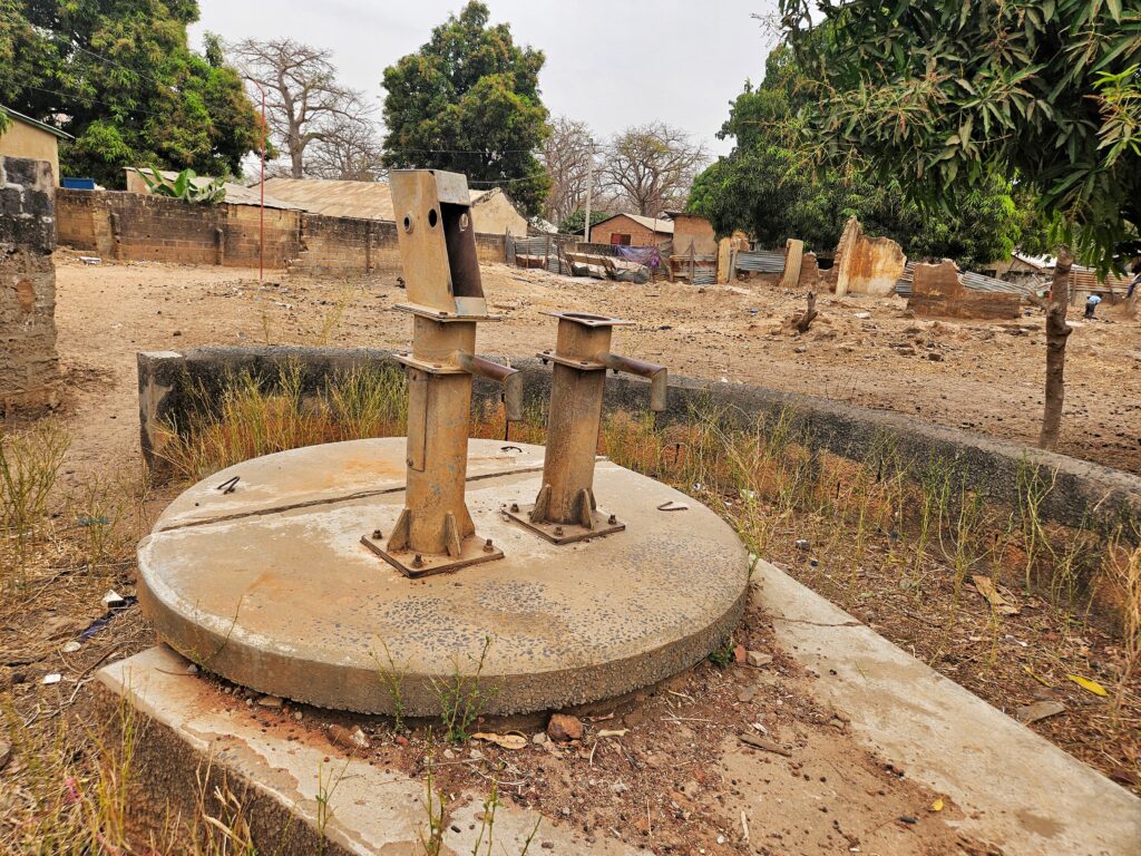
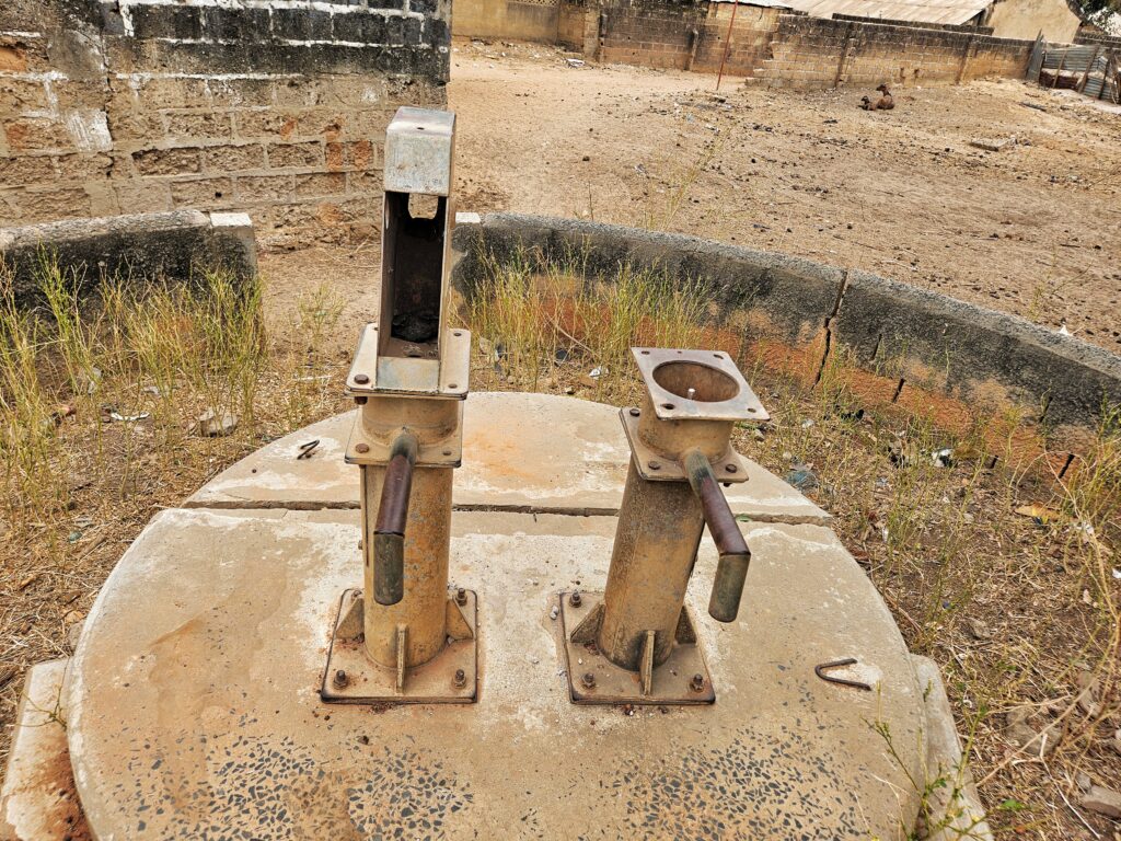
2 New cylinder, 2 conversion head, 2 stainless steel pipes, check-nuts, de-watering and sanitizing well, hand washing station. The contractor will construct a new water trough for the village ruminants to drink from, which will help the community economically.
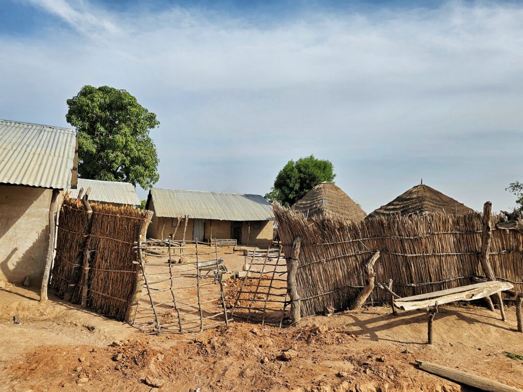
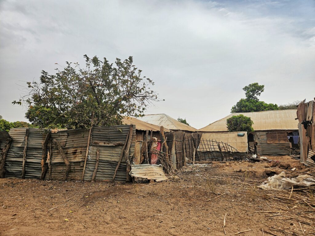
This community belongs to the Mandinka tribe and is situated about 3 kilometers to the south of Illiasa along the Trans-Gambia North Bank Road. The population of this community is around 900 people. The community practices subsistence farming and mainly grows rice and groundnut. They rely on pumpkin farming as their primary source of income, which is sold to Senegalese villages along the border. Unfortunately, the community faces a persistent water crisis leading to the use of open wells by some community members, which causes health problems, especially among children under 5 years of age.
- KATCHANG VILLAGE
GPS: N13°30.381 W015°45.215, Population: 900
2 New cylinder, 2 conversion head, water tank, dewatering and sanitizing well, 2 stainless steel pipe, 2 centralizers, hand washing station, the contractor will construct a new trough for the village ruminants to drink from, which will help the community economically

Katchang village is located approximately 8km off Trans-Gambia North Bank Road via Illiasa junction. The population of the community is about 900 people, with the Mandinka tribe comprising the majority, and some Bambara and Fula tribes adding to the population. The community mainly relies on subsistence farming, growing crops such as Groundnut, millet, and rice. Groundnut is a key cash crop for households, and the proceeds are used to provide for basic needs of their families. The community is divided into five “Kabilo” (clans) that have lived harmoniously together for generations. However, the community has been facing severe water shortages, as the current water source cannot cater to the needs of the growing population. This has led to catastrophic consequences for the community. Various household heads desperately search for water, especially when the current water source runs dry.
- CONTEH KUNDA NIGGI VILLAGE
GPS: N13°33.983 W015°47.503, Population: 700
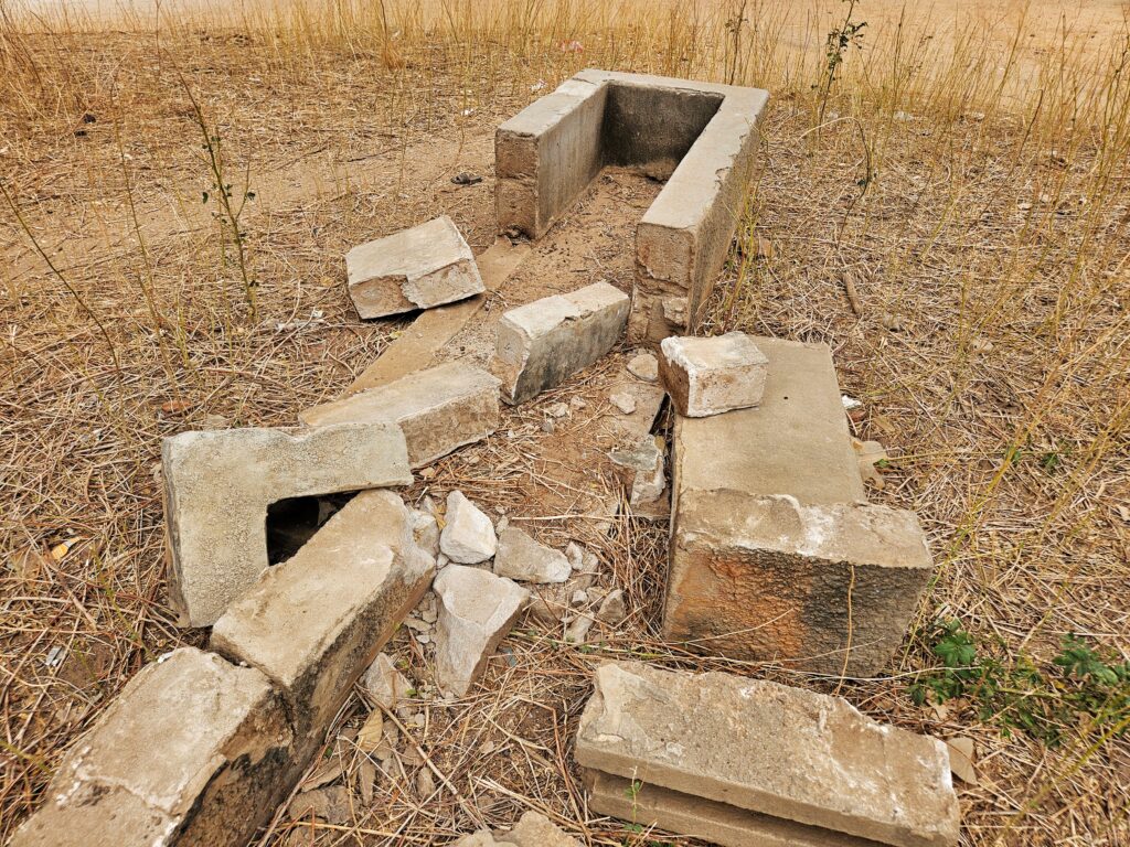
Concrete slab adjustment, 1 cylinder, 2 conversion head, 2 centralizers, hand washing station. The contractor will construct a new trough for the village ruminants to drink from, which will help the community economically
This community is situated along the Trans-Gambia North Bank Road, about 4 KM west of Noo-Kunda, and has a population of around 700 people. According to history, the founders of the village were merchants who migrated from Mali during the Soninke Marabout wars about three centuries ago. They were known as “Conteh Jula” and dealt in traditional leaders and artifacts during the reign of Sundiata Keita of the Mali Empire. The community remains as a historical village renaissance for the Conteh clan who are believed to be from the Bambara tribe. The community survives on subsistence farming, with some households still practicing traditional handicrafts. However, the community is currently facing a severe water crisis. The existing water source is not sufficient for the population, and as a result, some people resort to fetching water from contaminated sources such as open wells or from the nearby Bao Bolong creek. This has caused immense suffering for the community.
- JAJARI VILLAGE
GPS: N13°34.554 W015°44.696, Population: 400
2 Conversion head, 2 new cylinder, 4 rods, 4 rod couplings, 4 centralizers, well topping concrete enforcement, dewatering and sanitizing well, hand washing station, the contractor will construct a new water trough for the village ruminants to drink from, which will help the community economically.
Jajari is a historic and culturally rich village located in the district. It was once the throne of the five pillars of the Kingdom of Badibu, known as Bijankeer. The founders of the village migrated many centuries ago from the great Timbuktu in Mali and were known as the Sibikarang Mansa in ancient times. The community can be found about 3 kilometers North of Illiasa, along the Trans Gambia North Bank Road, and has a population of approximately 400 people. It is mainly a subsistence farming community, with some fishermen engaging in tilapia fishing along the Bao Bolong creeks. Despite being a large community, the current water source is not enough to provide clean drinking water for everyone, putting many areas of the village at risk of consuming contaminated water and causing illness, especially among children.
- HINDIA VILLAGE
GPS: N13°34.119 W015°44.917, Population: 600
2 New cylinder, 2 conversion head, dewatering and sanitizing the well, 4 stainless steel pipes, check-nuts, 4 centralizers plus hand washing station. The contractor will construct a new trough for the village ruminants to drink from, which will help the community economically
The village of Hindia has a population of approximately 600 people. It is situated along the Trans-Gambia North Bank Road, adjacent to Illiasa. The community comprises of the Mandinka tribe, with some Wollof tribesmen who migrated from Senegal in search of farmlands and fishing opportunities along the Bao Balong creeks. Both tribes coexist peacefully, and intermarriages have strengthened the bonds within the community. The main source of livelihood is subsistence farming, with groundnut, millet, and pumpkin being the primary crops grown. Unfortunately, the community is facing a severe water shortage due to inadequate supply, affecting both social and economic aspects within households. The recent mass migration of the Wollof tribesmen from Senegal has further worsened the situation.

The funds for this program have been advanced by Water Charity. Your donation using this Donate button will ensure that we have funds available to accomplish this project. Kindly donate using the button.