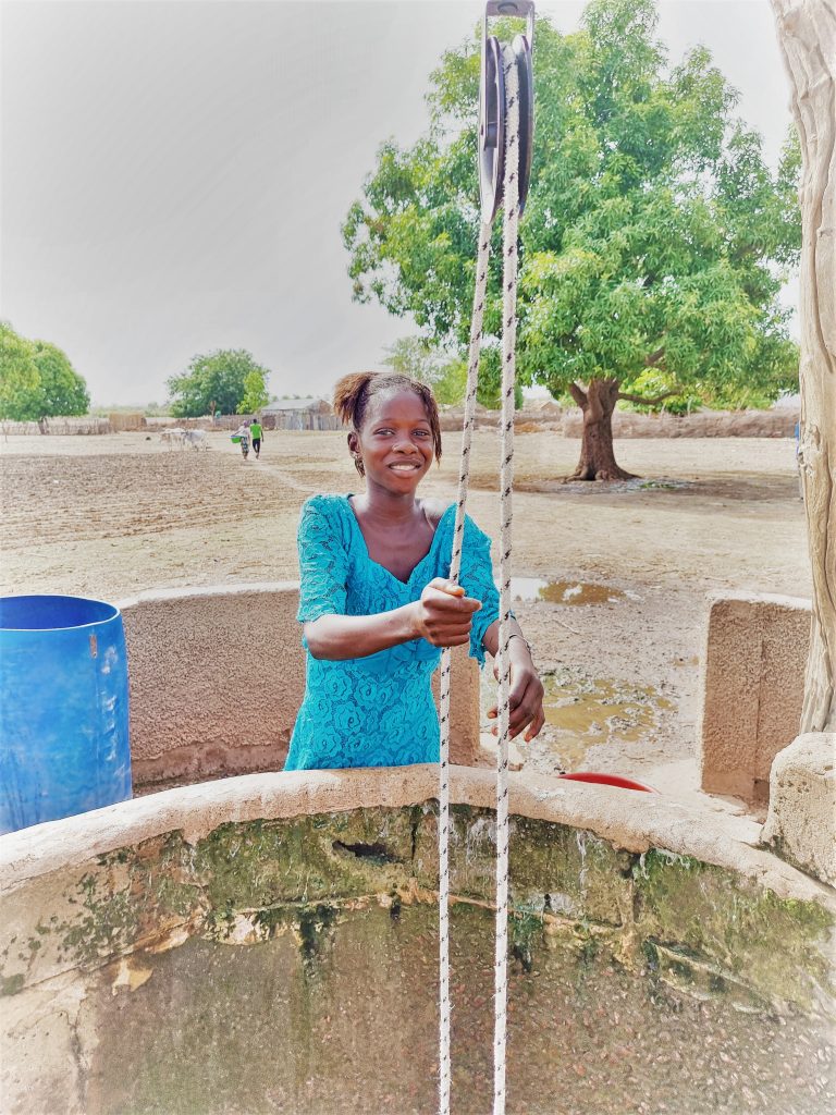
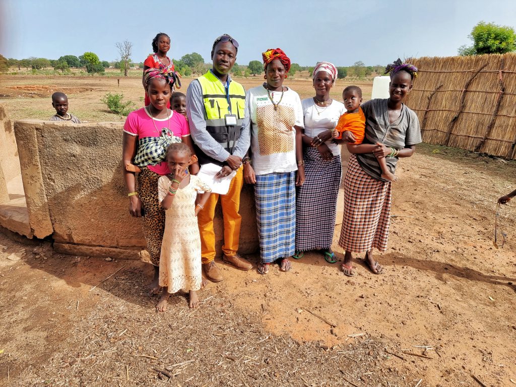
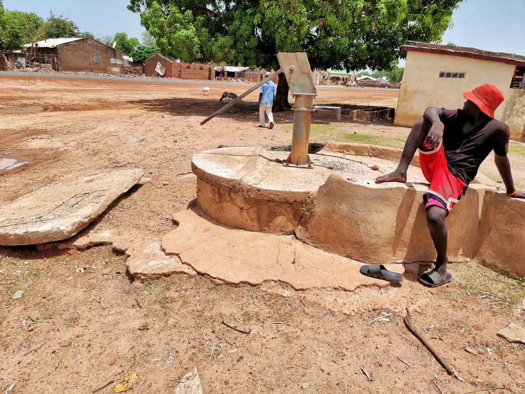
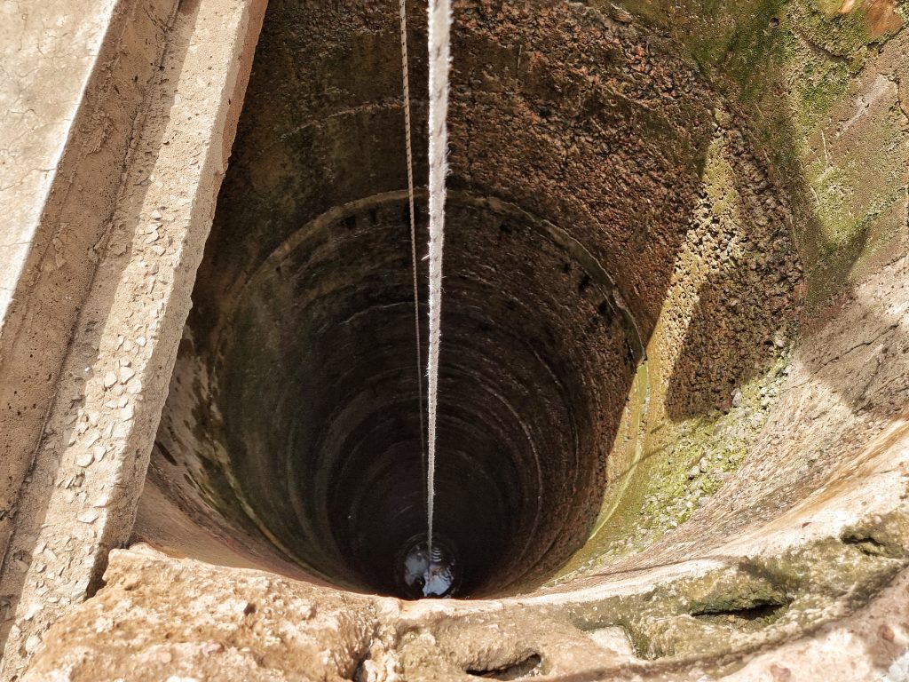
Sabach Sanjal is in Upper Baddibu, one of the six districts of the North Bank Region of The Gambia. Its main town is Farafenni. The North Bank Division is now the Kerewan Local Government Area, and the former Upper Baddibu District is now divided into an Illiasa District and a Sabach Sanjal District. The district is home to Pakala Forest Park, a protected area in The Gambia covering 1,161 ha (2,870 acres). By and large, residents of Sabach Sanjal practice subsistence farming. Their main occupations are farming, including crop cultivation, cattle rearing, and fishing. In a recent assessment report conducted by the environment unit of the Ministry of Health in 2019, The Gambia found that most communities in Sabach Sanjal district lack access to potable drinking water and are still practicing open defecation.
Kataba Mbapu (GPS Coordinates: N13ᴼ32.727 W015ᴼ31.171) Estimated Population: 650
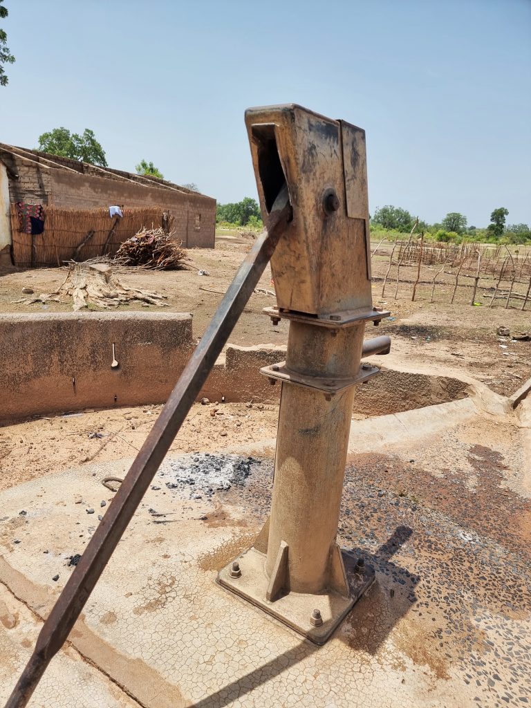
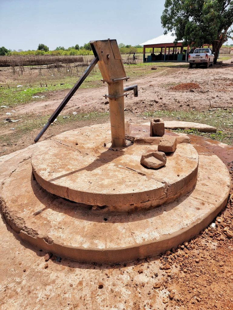
After re-digging, de-watering, and sanitizing the well, we will replace the cylinder, the concrete slab, and five stainless steel pipes; we will add extra ground concrete to the base, constructing a concrete water trough, plus a handwashing station.
Nyang Kunda (GPS Coordinates: N13ᴼ32.338 W015ᴼ.29.145) Estimated Population: 400
We will replace the conversion head and check-nuts; a new concrete water trough will be constructed, and a handwashing station will be installed.
Mbapa Ba (GPS Coordinates: N13ᴼ35.199 W015ᴼ28.953) Estimated population: 800
We will replace the cylinder, the rod couplings, the bearings and the axle, the concrete water trough, plus the hand washing station.
Kumbija (GPS Coordinates: N13ᴼ32.670 W015ᴼ25.953) Estimated population: 200
We will replace the cylinder and the conversion head; we will add extra ground concrete to the base, construct a concrete water trough for the village ruminants, plus install a handwashing station.
Taiba (GPS Coordinates: N13ᴼ32.810 W015ᴼ31.621) Estimated population: 350
After re-digging, de-watering, and sanitizing the well, we will replace the twin handpumps’ two cylinders, two conversion heads, and the check nuts. We will install four stainless steel pipes, construct a concrete water trough and a handwashing station.
Tandiato (GPS Coordinates: N13ᴼ31.366 W015ᴼ25.229) Estimated population: 200
We will replace the handpump’s cylinder, its concrete slab, and bearings; we will construct a water trough for the village ruminants and install a handwashing station.
Pallen Fula (GPS Coordinates: N13ᴼ34.047 W015ᴼ26.307) Estimated Population: 900
After de-watering and sanitizing the well, we will replace the cylinder and the conversion head. We will install two stainless steel pipes, add extra gravel plus cement to the base and the walls, construct a concrete water trough, and install a handwashing station.
Sabach Sukoto Fula (GPS Coordinates: N13ᴼ33.912 W015ᴼ32.313) Estimated population: 300
We will replace the cylinder, add extra ground concrete to the base, construct a concrete water trough for livestock, plus install a handwashing station.
Sabach Sukoto (GPS Coordinates: N13ᴼ33.671 W015ᴼ32.467) Estimated Population: 600
After de-watering and sanitizing the well, we will replace the cylinder, the bearings and the axle, add extra ground concrete, construct a concrete trough, and install a handwashing station.
Njaine (GPS Coordinates: N13ᴼ35.784 W015ᴼ26.551) Estimated population: 1,200
After re-digging the well, replacing the cylinder and the stainless steel rod couplings, we will construct a concrete water trough, plus install a handwashing station.
NB: All these projects include a handwashing station for each community as part of Water Charity’s efforts to fight COVID-19 and promote good hygiene.