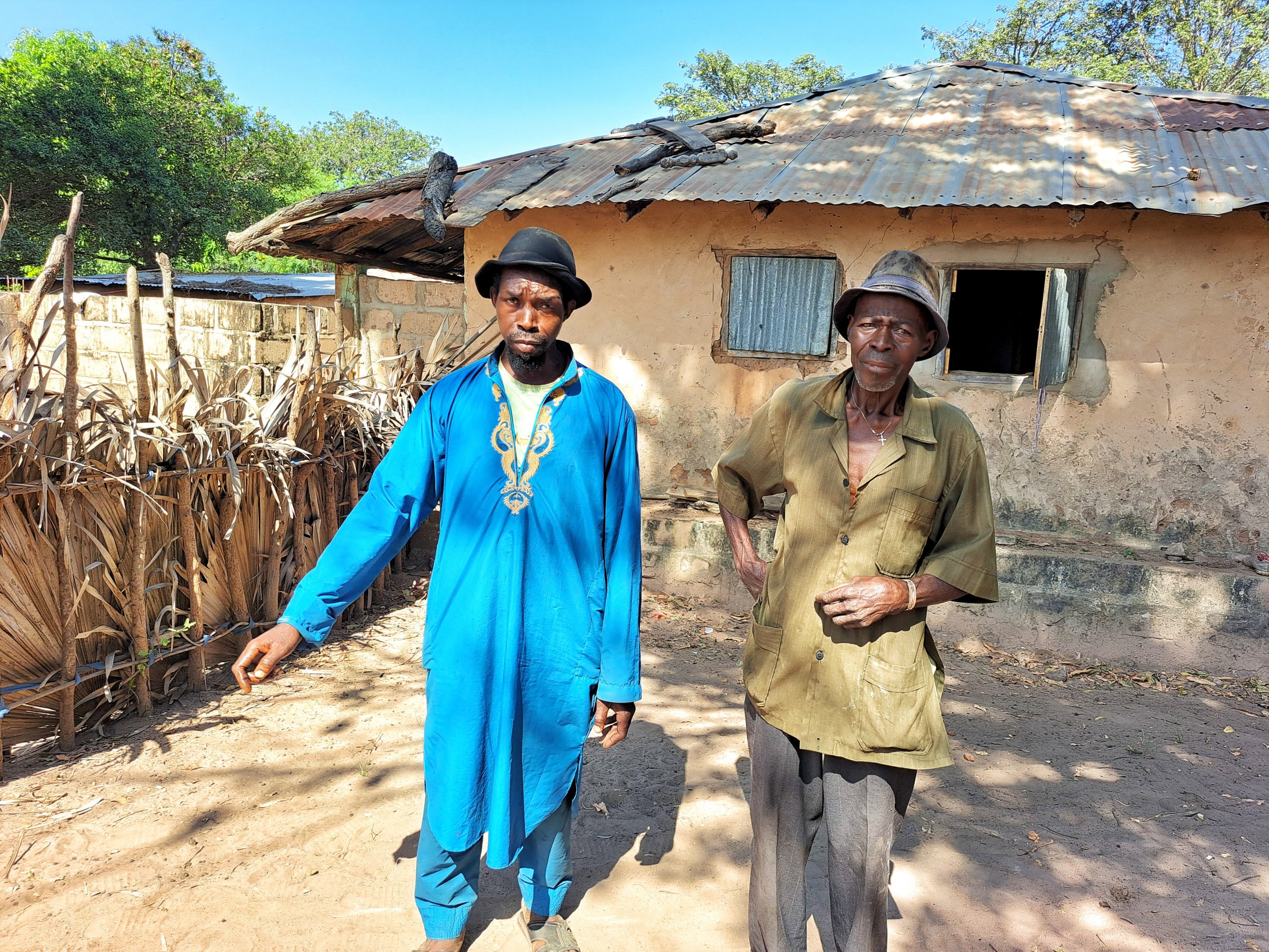
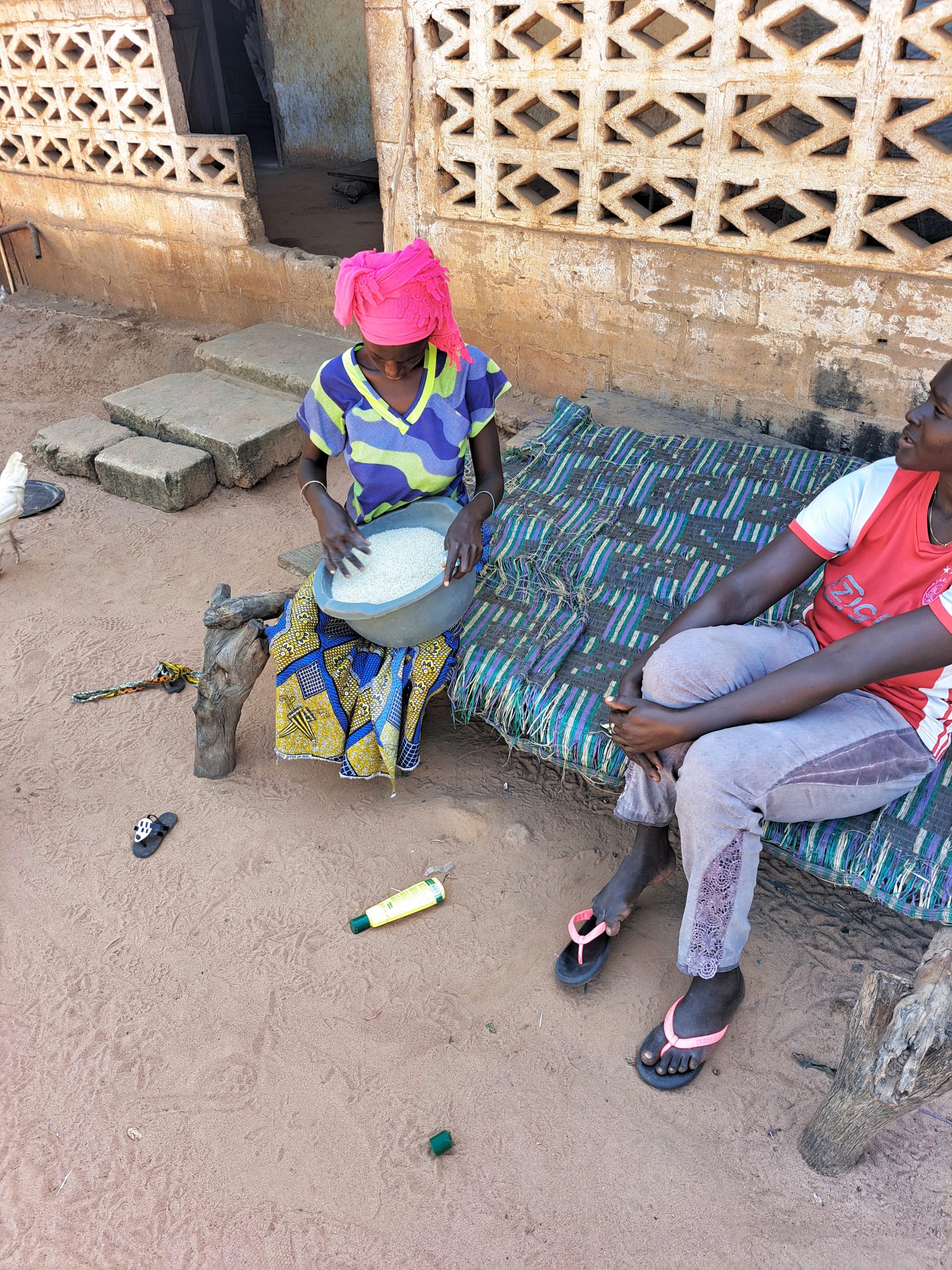
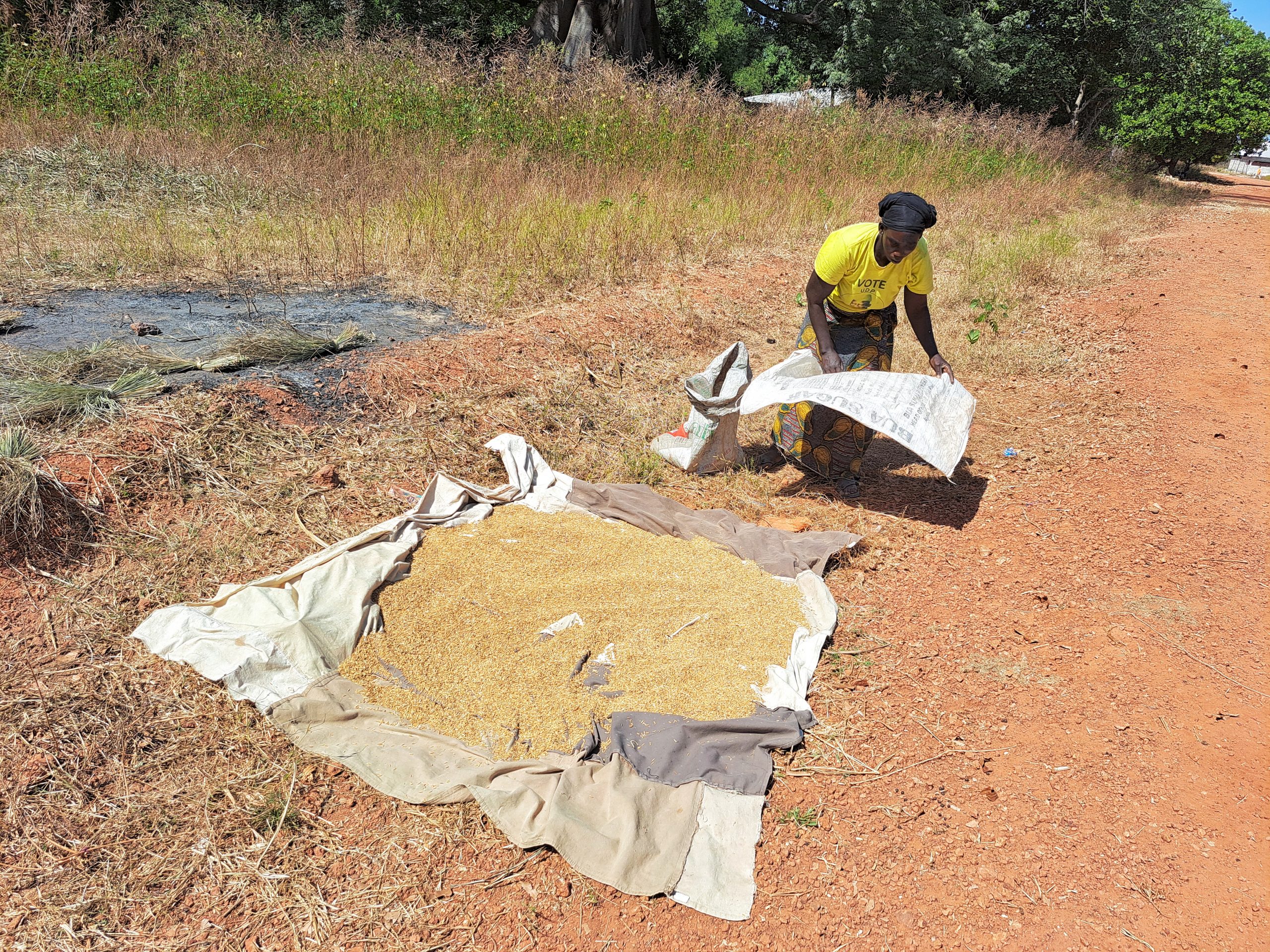
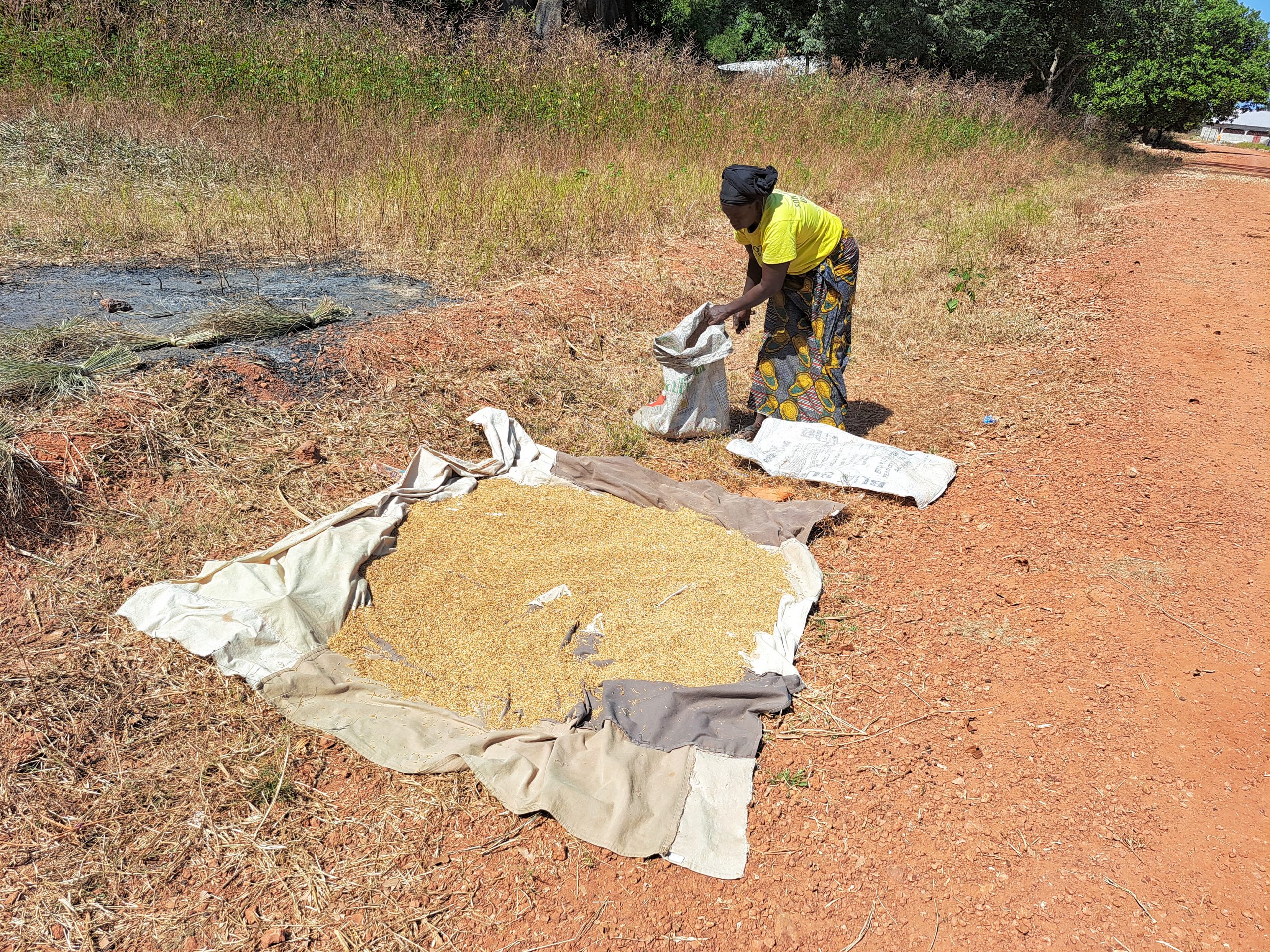
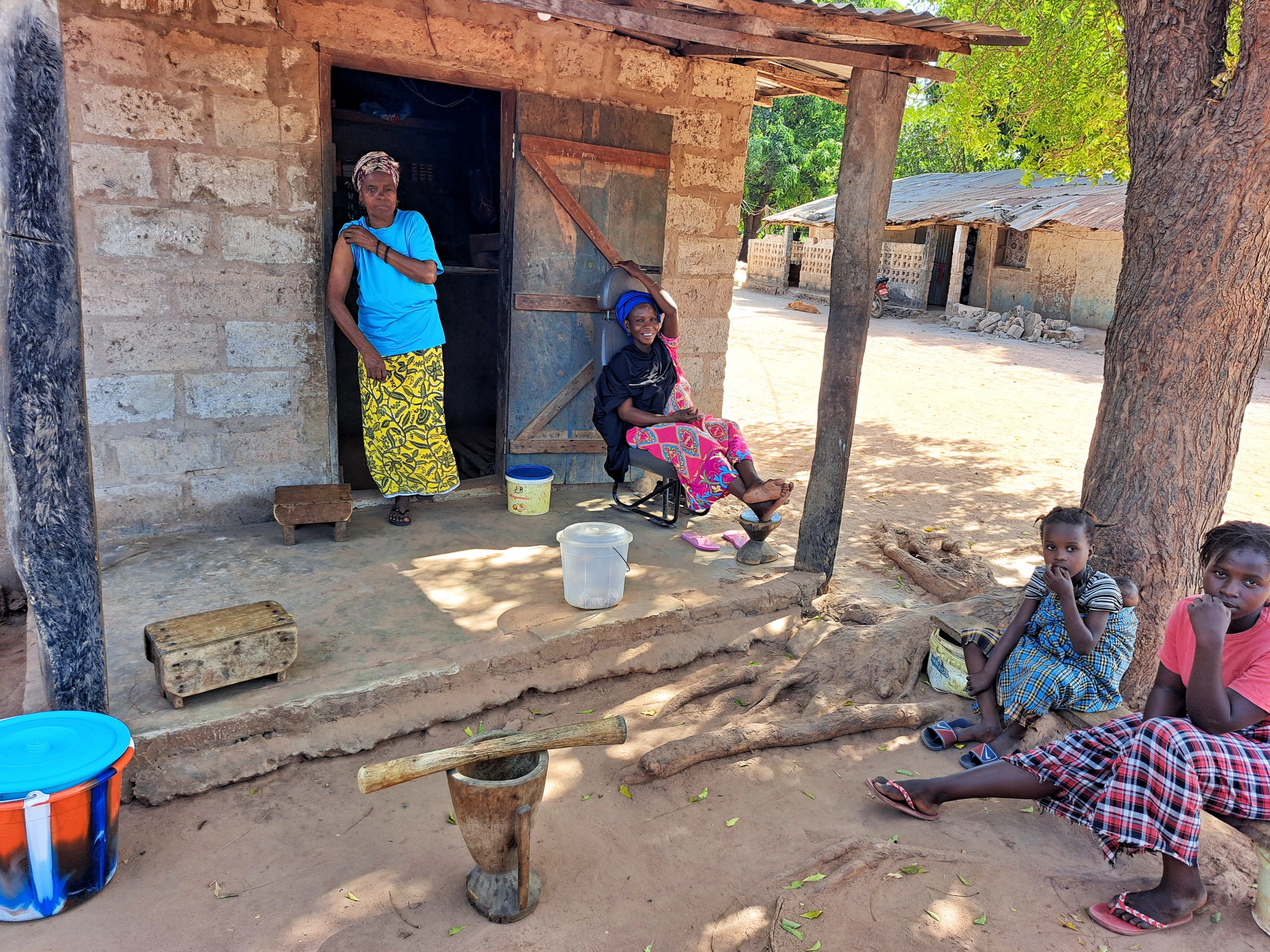
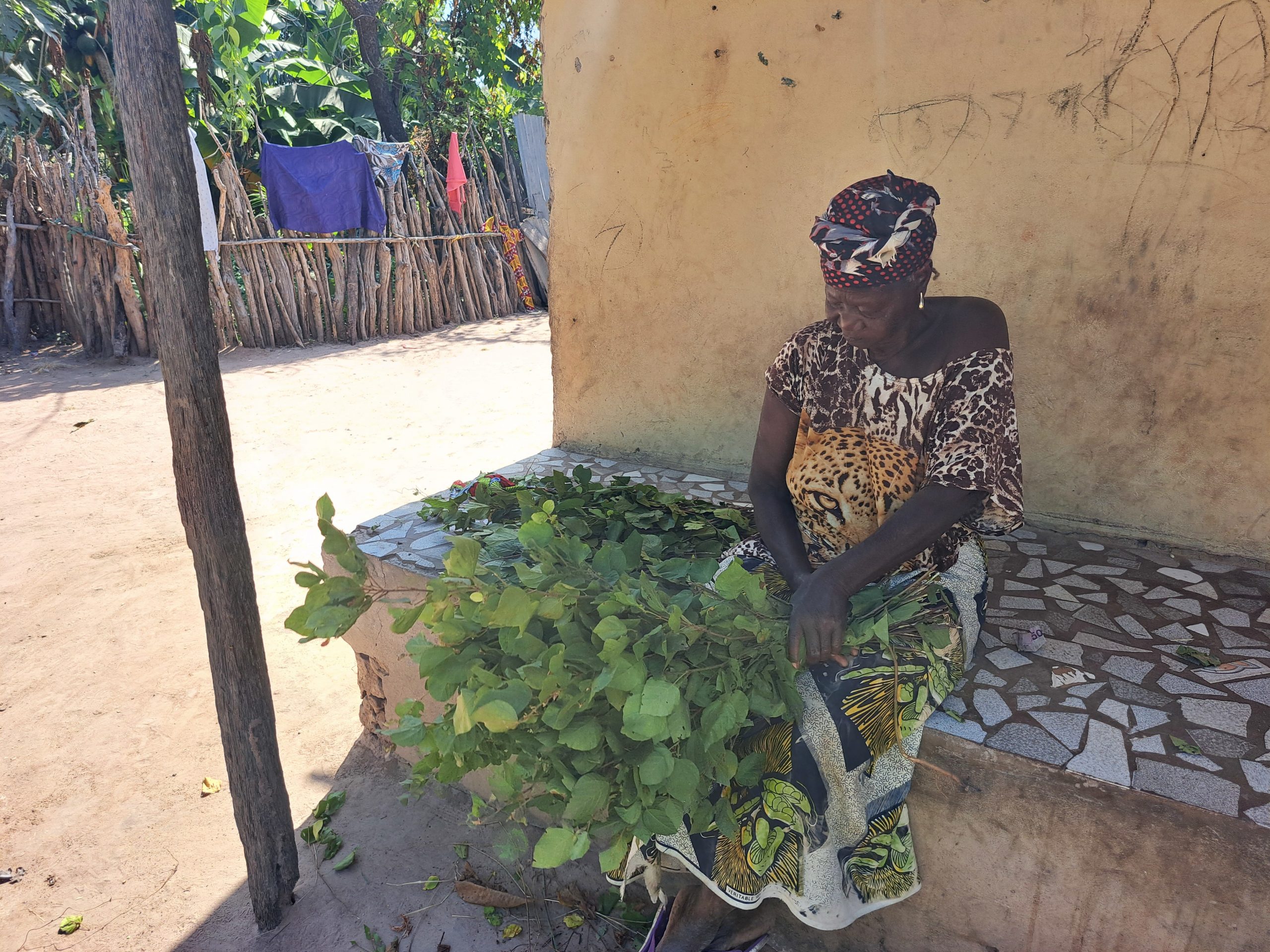
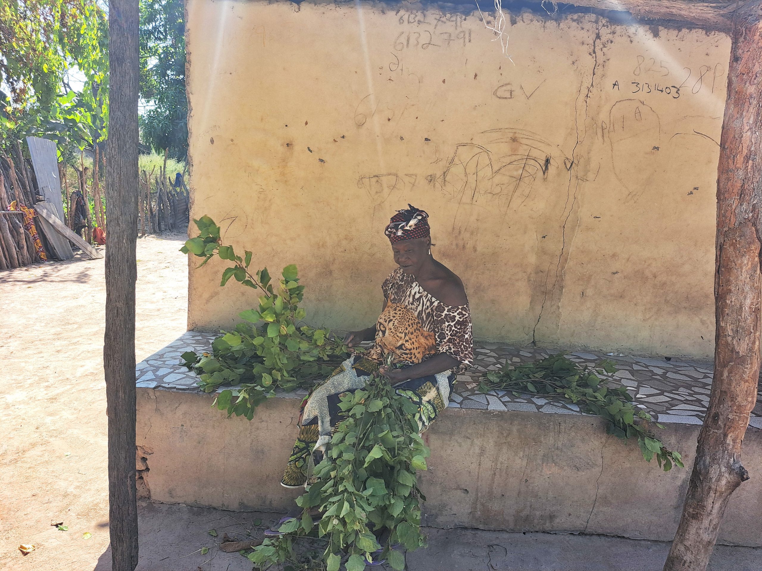
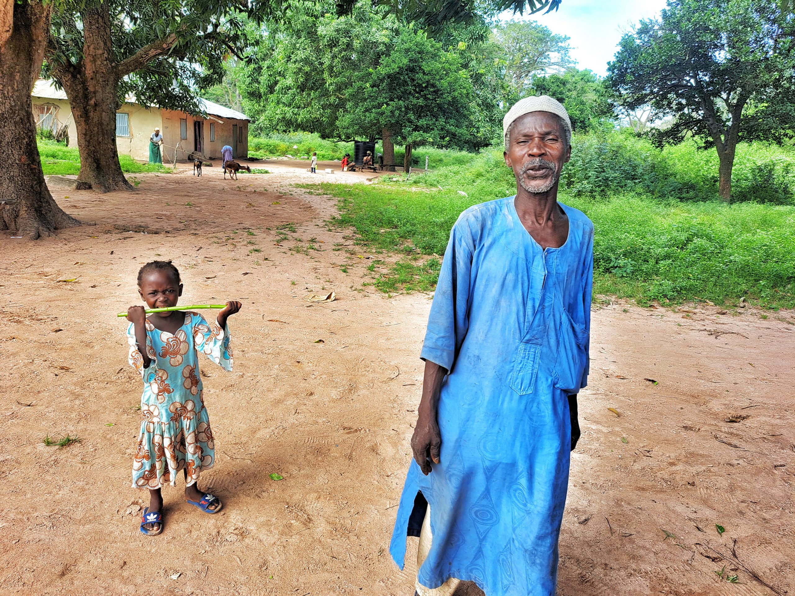
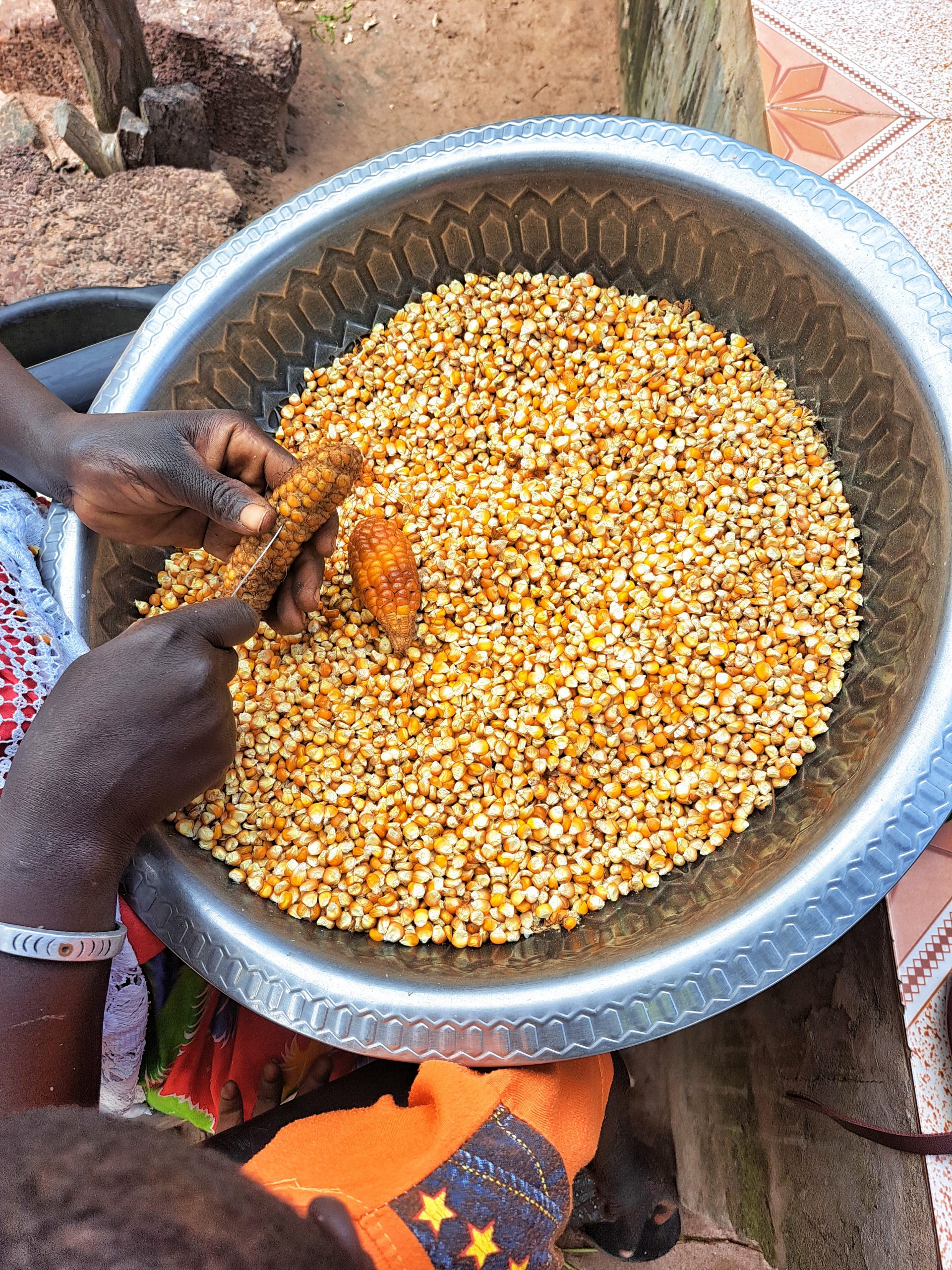
Foni Bintang-Karenai is one of the nine districts of the Gambia’s West Coast Region, which is located on the south of the Gambia River in the southwest of the country. Foni Bintang-Karenai is in the central south of the Region, between Foni Kansala and Foni Brefet. This district is dominated by the Jola tribe and some Fula as well as Mandinka tribes. The vast majority of people in the district are subsistence farmers, growing groundnut, maize and millet with some communities notably women engaged in collecting and selling wild herbs for traditional medicinal purposes. Herbs locally called “Mborr Mborr, Kinkiliba and sangfito” are commonly associated with this district. It still keeps traditional tribal culture and it also served as a source of typical Jola and Mandinka tribe history and traditional way of life. The district is also the home of an old Mandinka love poem called “Masannehsisay Bintang Bolong daala”. This love poem was played by the local griots of the district called “Jali” depicting the love life of a powerful man believed to possess mystic powers and a woman from a lower inferior caste possessed by evil.
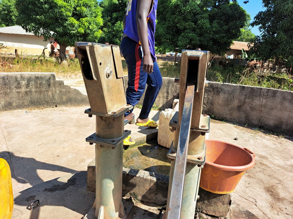
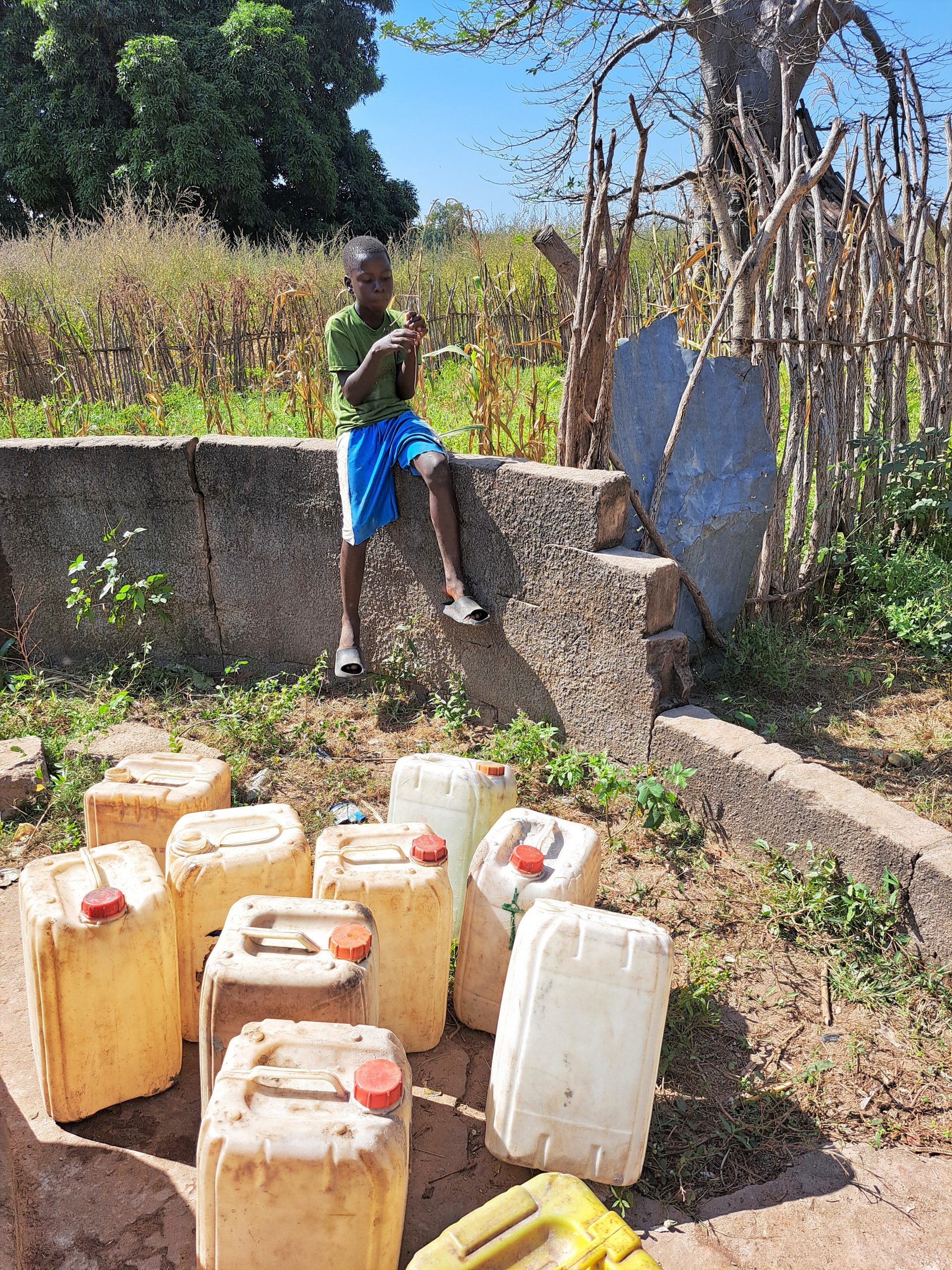
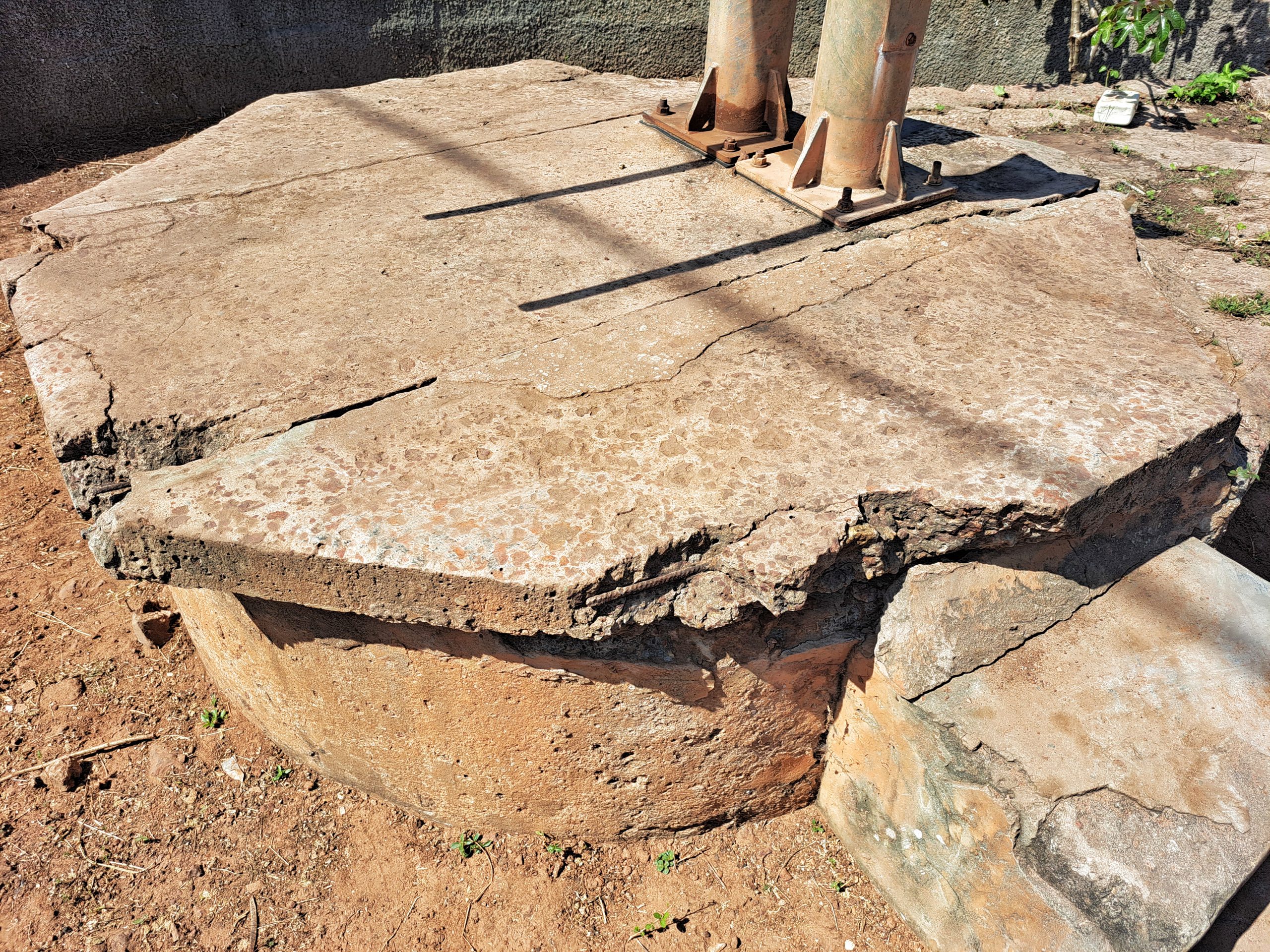
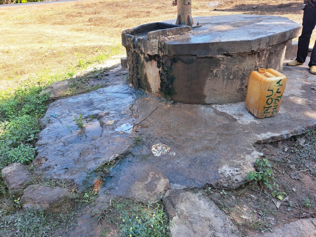
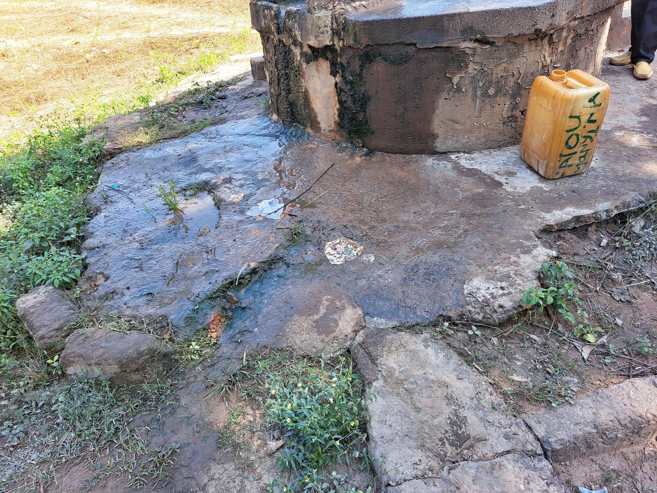
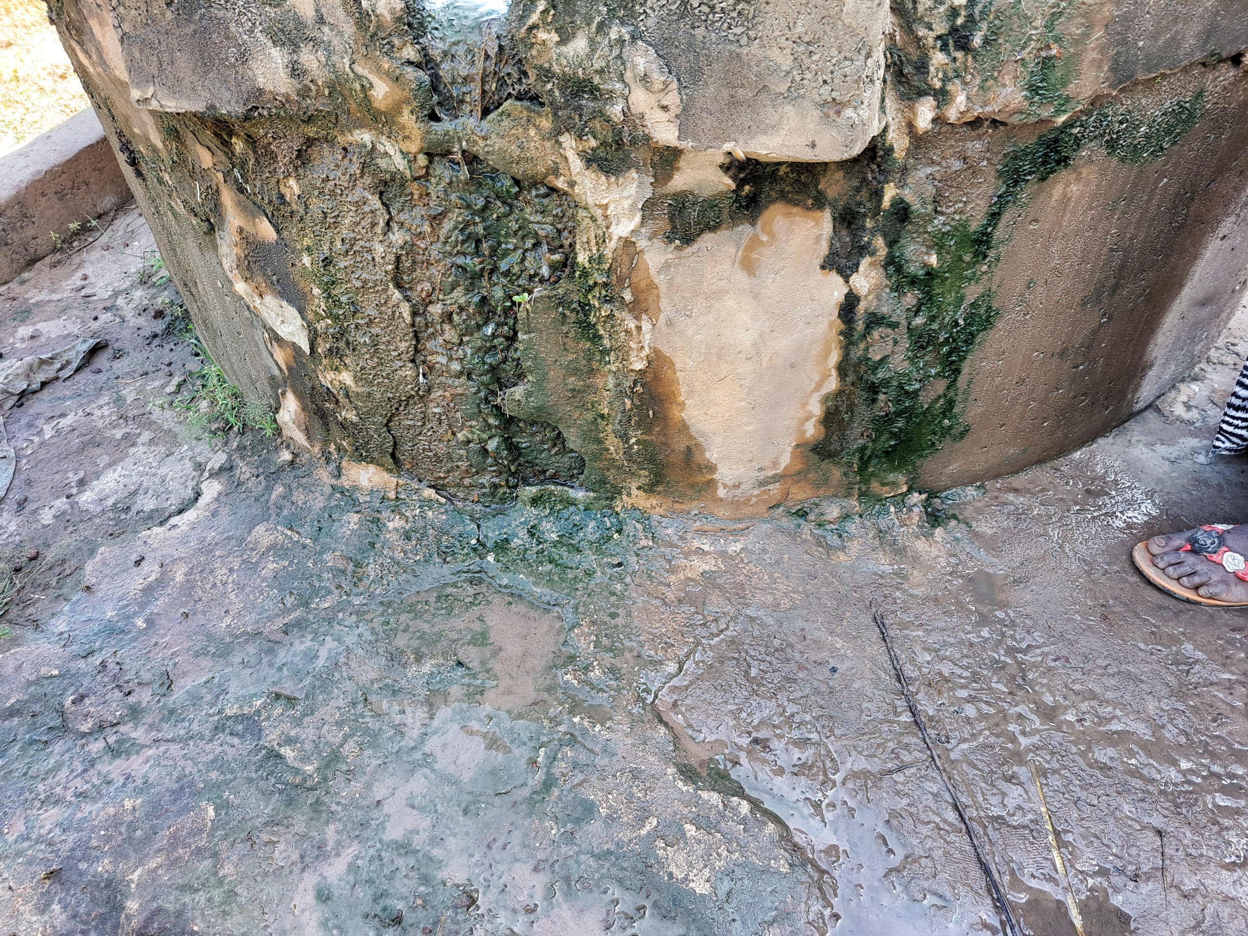
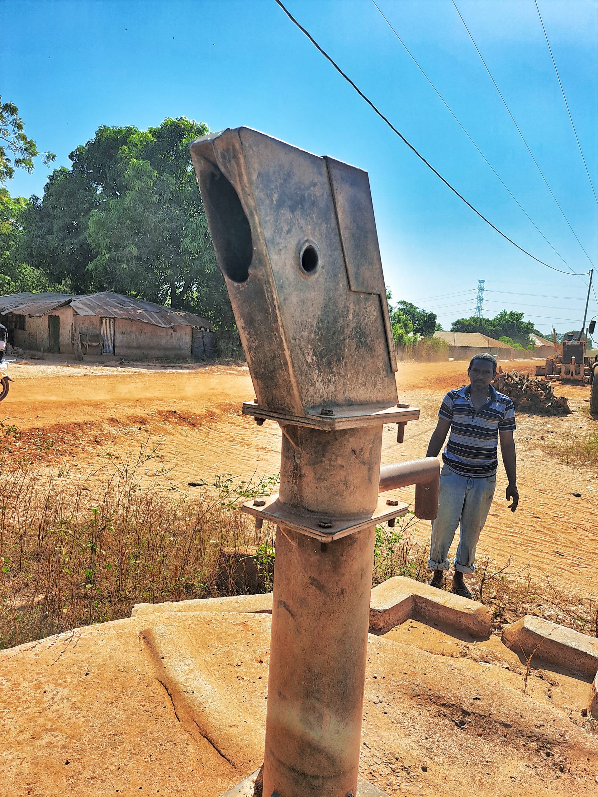
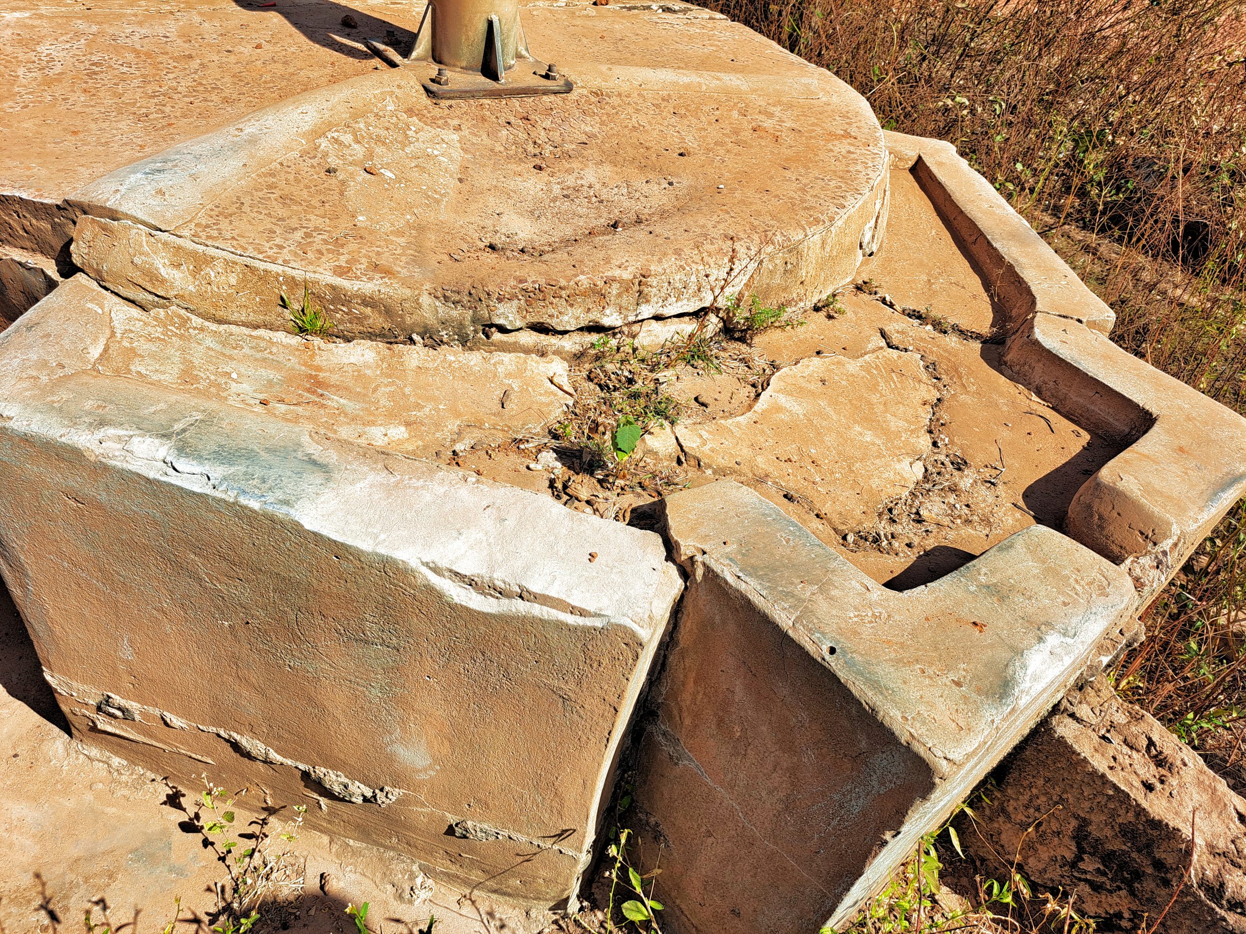
However, the district is prone to illegal deforestation, especially in rosewood among others. The area is also prone to wildfires and as a result, this has led to the scarcity of fresh drinking water. According to Global Forest Watch reports, in 2010, the district had 243ha of tree cover, extending over 1.7% of its land area. In 2021, it lost 225mha of tree cover, equivalent to 76.5t of CO2 emissions. In Foni Bintang Karenai District, the peak fire season typically begins in mid-February and lasts around 12 weeks. All these factors have made life harder for the indigenous tribes that live within the district especially when it comes to clean drinking water. The district also borders with the Senegalese region of Cassamance which has been the center of separatist rebel conflict for four decades. As a result, it hosts hundreds of refugees which added more stress to the already alarming clean water crisis the district faces. The border between Casamance and The Gambia is long and porous. There are no official border crossings and people move from one side to the other with little restriction. Border communities are historically interlinked, most notably through inter-marriage, and have been partaking in the same social norms and customs since pre-colonial times. The influx of refugees earlier this year has made the water crisis worst in the district. Although a huge chunk of the refugees has gone back since the tensions have eased, but clean drinking water scarcity still remains to hunt communities.
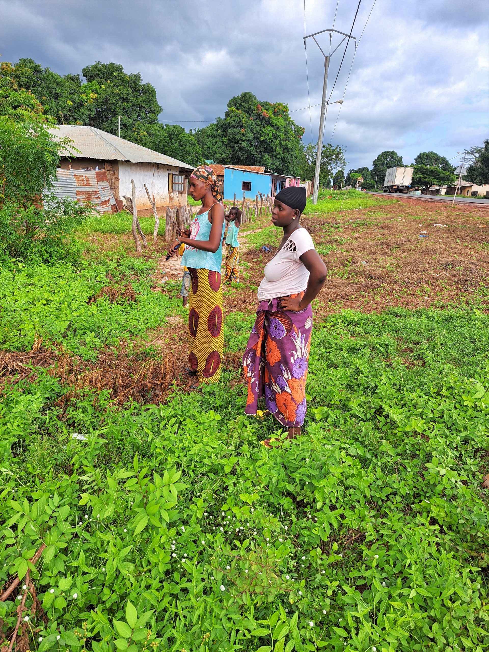
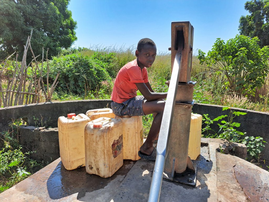
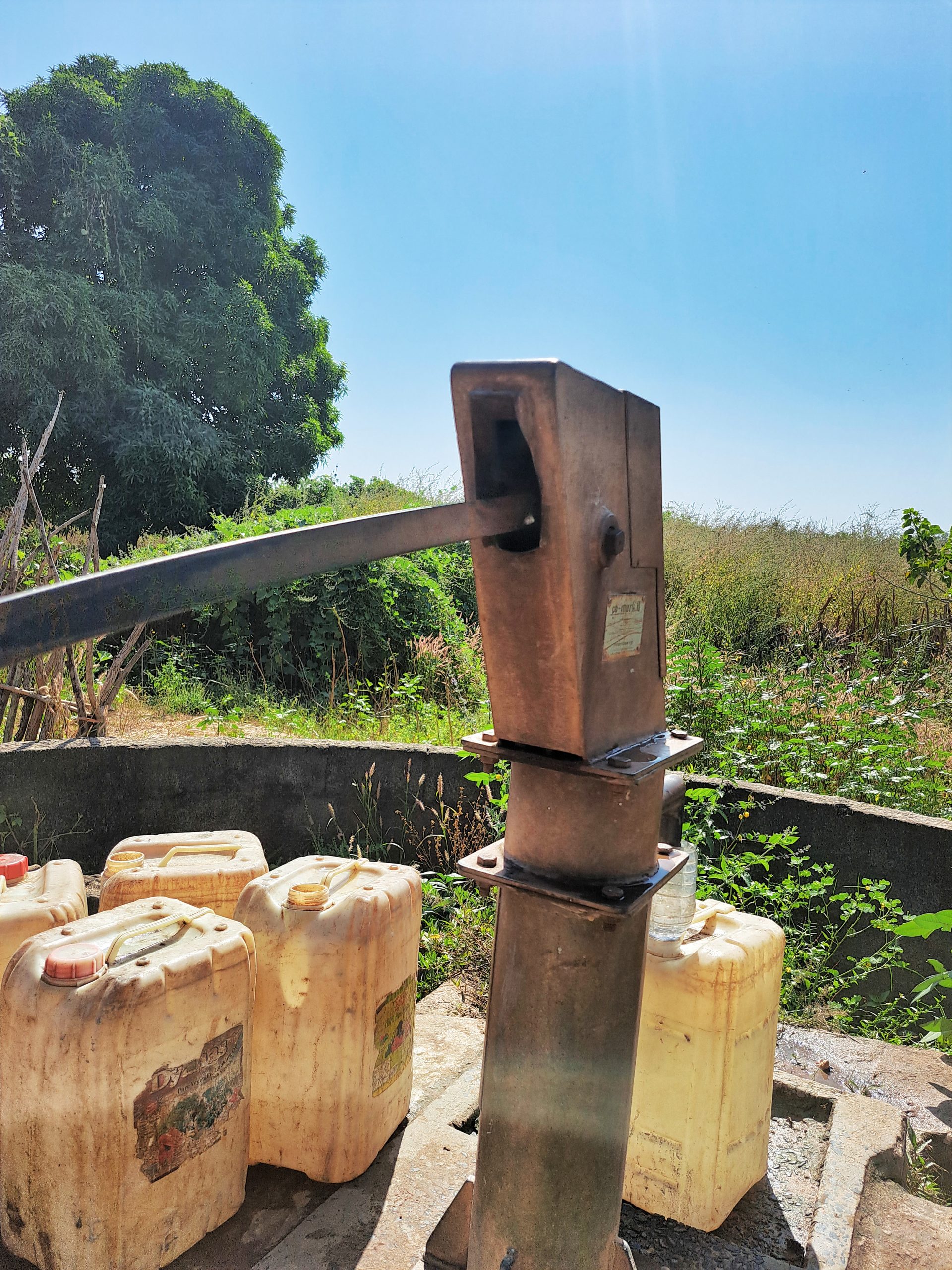
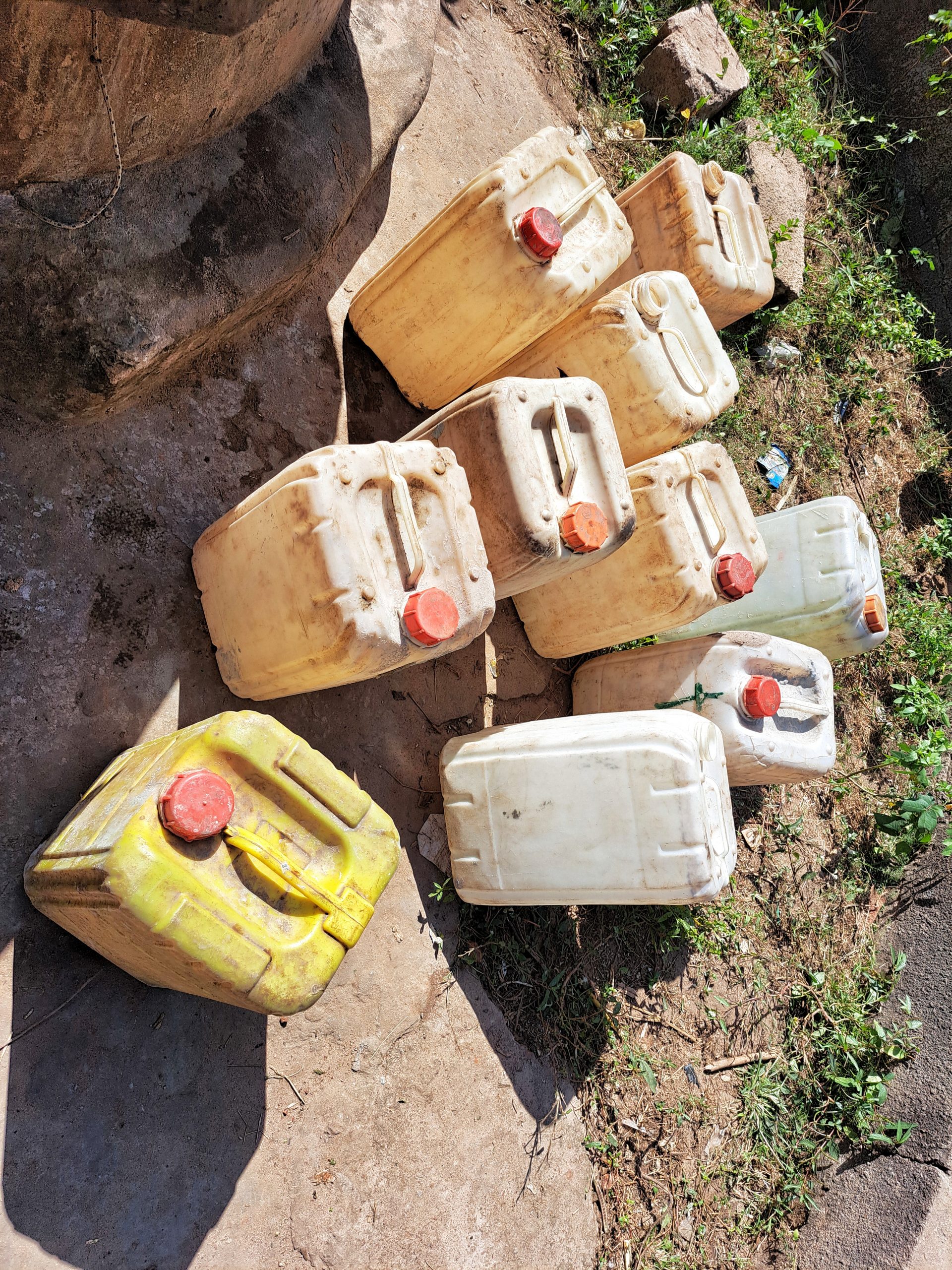
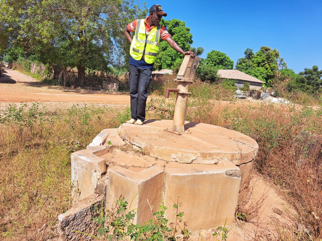
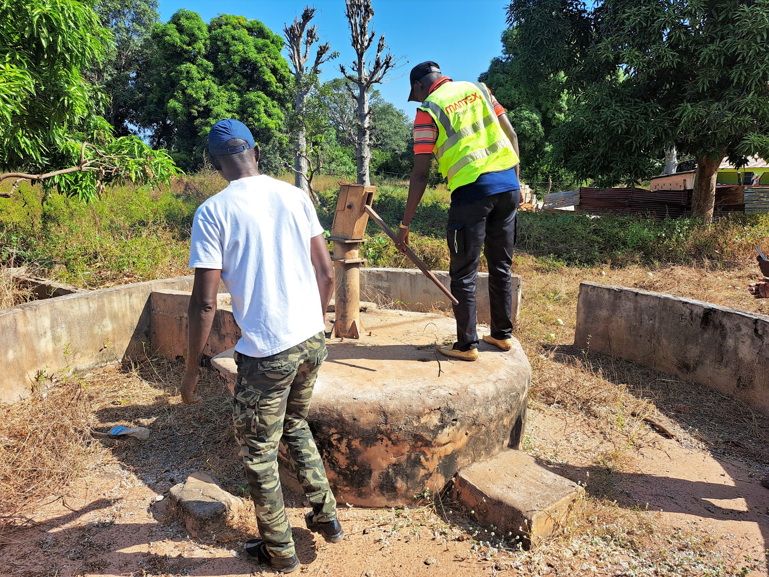
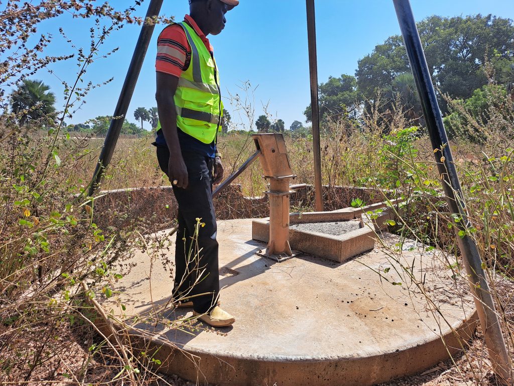
This rehabilitation tour will provide access to clean drinking water for thousands of people directly. It will have a great impact on their health and social habitation in general. It will tremendously benefit women and girls as they bear the brunt of water collection within the household. It will make girls enrich their potential at school and also help women enrich their potential socially and economically especially at the household level, as at the moment they spend a huge amount of time in water collection daily. It will also forge harmony and understanding among members of communities, as at times quarrels and scuffles occur during water collection.
1. BATABUT KANTORA VILLAGE
GPS: N13°12.375 W016°09.524
Population: 550
2 Conversion heads, 2 new cylinders (twin pump), 8 centralizers, 2 stainless steel pipes, hand washing station, the contractor will construct a new water trough for the village ruminants to drink from, which will help the community economically.
Batabut Kantora village is located along the Trans-Gambia South Bank Road. It is a Mandinka tribe community of roughly 550 people. It is a subsistence farming community growing groundnut and millet. According to sources, the community consists of the “Bujiran Kailandang” clan who hailed from the “Koringolu” of the ancient Kaabu Kingdom in the 18th century.
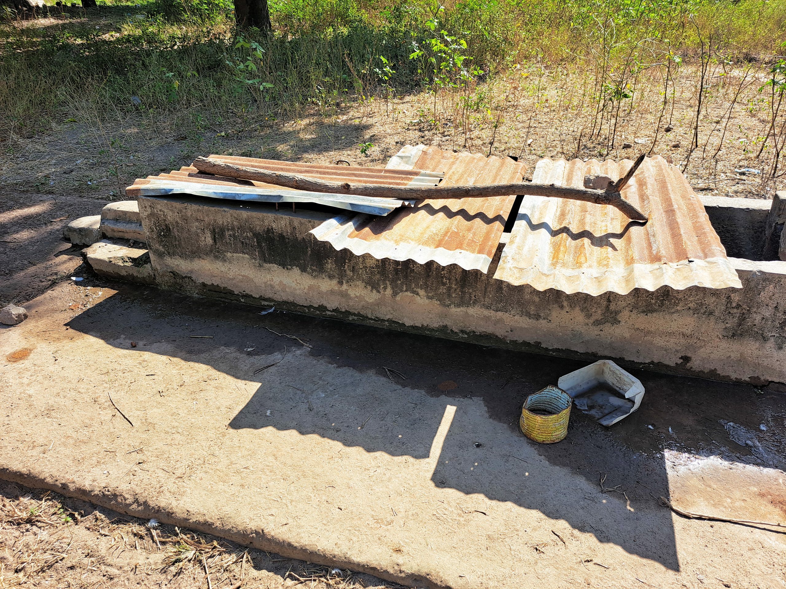
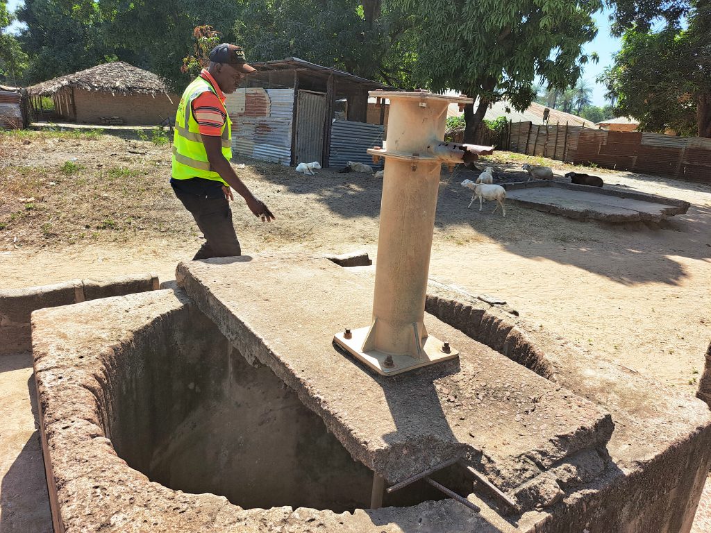
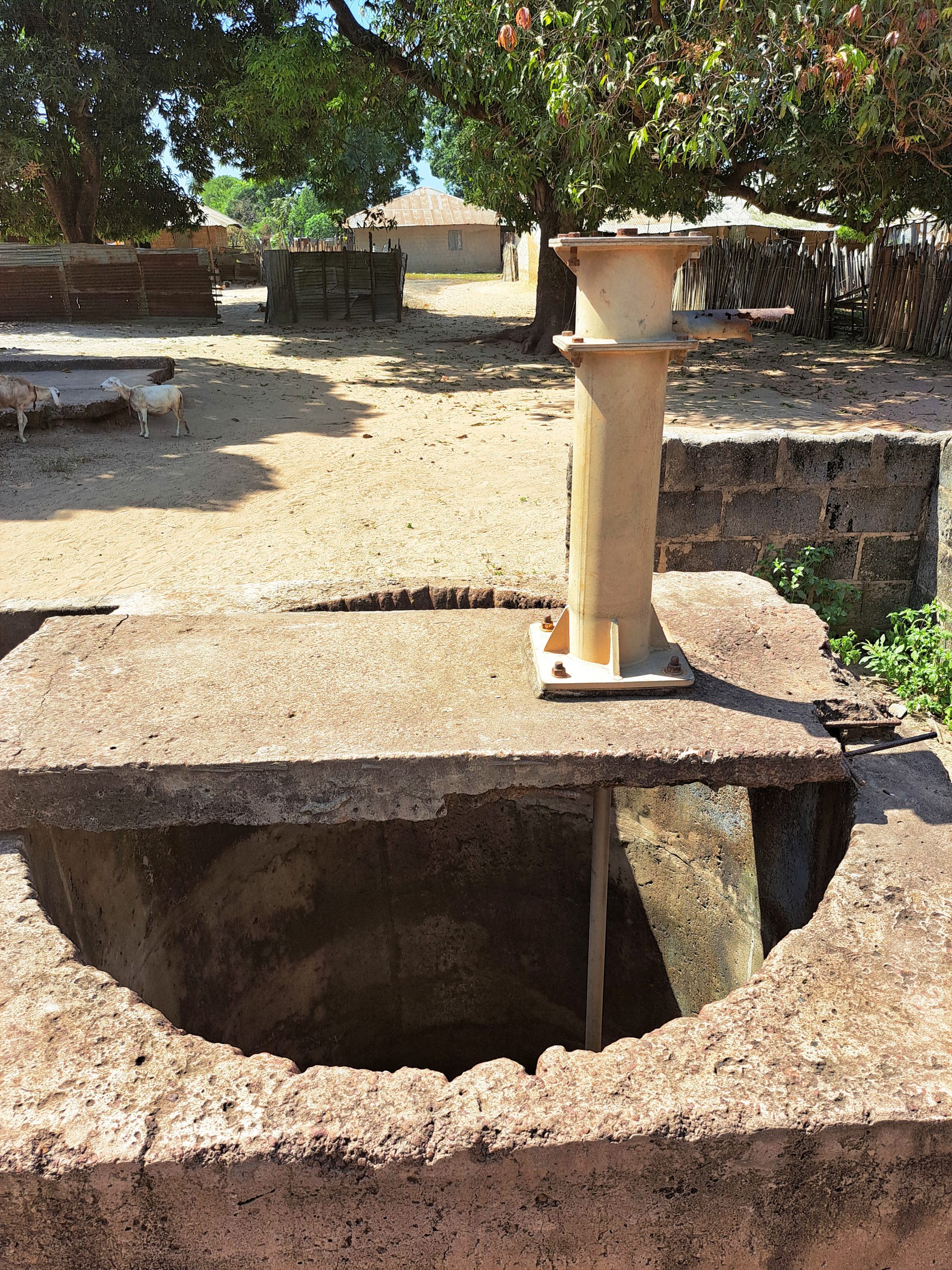
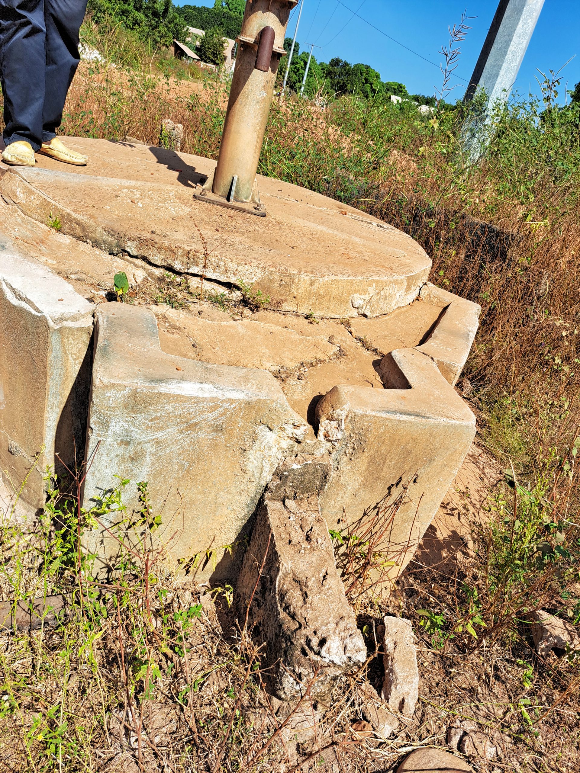
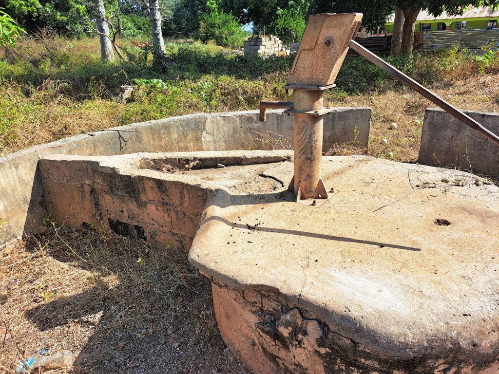
The community is facing a severe water crisis as it’s population cannot cope with the only water source available.
2. GIBANACK VILLAGE
GPS: N13°12.876 W016°08.376
Population: 180
1 conversion, 1 cylinder, 1 stainless steel pipe, hand washing station. The contractor will construct a new trough for the village ruminants to drink from, which will help the community economically
Gibanack village is located about 2 km north of Arangallen Village along the Trans-Gambia South Bank Road. The community is primarily made up of the Manjago tribe who originally migrated from Guinea Bissau during the PIGC war for independence from Portugal. The community is a subsistence farming community, growing millet, corn and groundnut with a handful of them engaged in fishing tilapia along the banks of The River Gambia. The only water source in the community has been broken for a long time and they currently depend on neighboring villages like Arangallen for water, which has resulted in a severe water crisis for the community.

3. JAKO VILLAGE
GPS: N13°13.698 W016°10.431
Population: 350
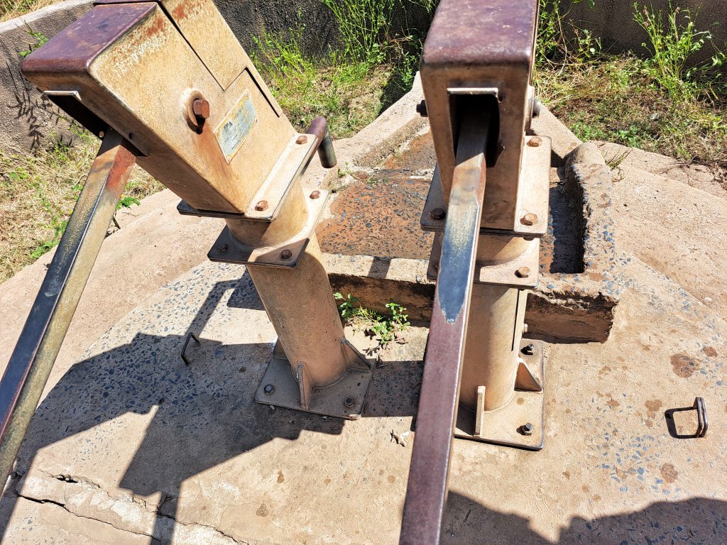
2 New cylinders, 2 conversion heads (twin pumps), 2 stainless steel pipes, dewatering and sanitizing the well, plus a hand washing station. The contractor will construct a new trough for the village ruminants to drink from, which will help the community economically
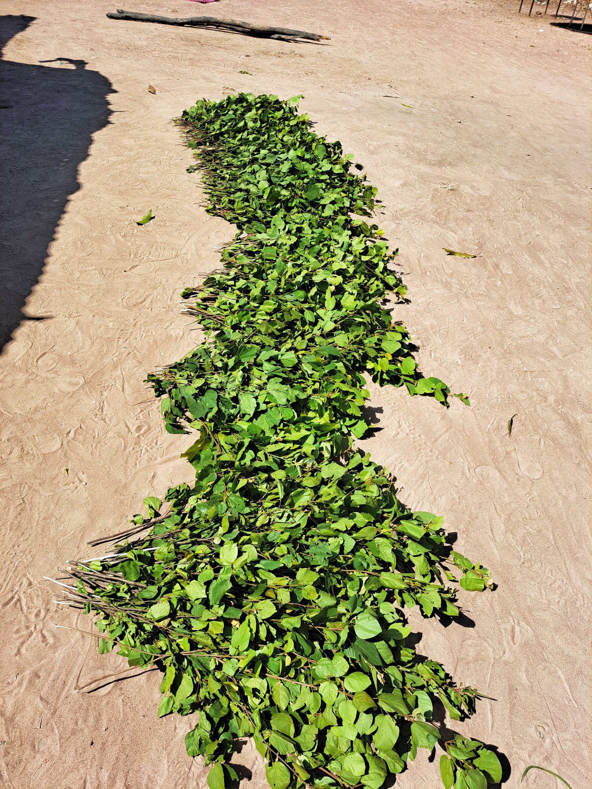
This village is about 4 km north of Sibanor along the Trans-Gambia south bank road. It is a Jola and Mandinka tribe community. The community depends on subsistence farming mainly growing groundnut, millet, and corn. The community is also known for the collection of traditional medicinal healing herbs in the bush which women notably sell for livelihood. The community’s only water source is broken and as a result it is facing water crisis for a long time. People travel about miles daily to neighboring villages in search of clean drinking water for their families.
4. MANYINA VILLAGE
GPS: N13°12.495 W016°12.312
Population: 400
1 Conversion head, new cylinder, 2 stainless steel pipes, re-digging the well extra 2 meters, de-watering and sanitizing well, hand washing station, new concrete slab. The contractor will construct a new water trough for the village ruminants to drink from, which will help the community economically.
Manyina Village is located along the Trans-Gambia South Bank Road. It is quite close to Sibanor. It is Mandinka tribe settlement and a subsistence farming community growing millet, rice and groundnut with a handful of women engaged in collecting medicinal herbs in the bush for economic gains. The community is faced with a water crisis. It has only one handpump serving the entire village and as a result of the high pressure it keeps breaking down due to poor standard parts and repair. This makes the villagers to depend on their neighboring village of Sibanor which is often not accepted by the Sibanor community.

5. KABOKORR VILLAGE
GPS: N13°22.274 W016°14.998
Population: 750
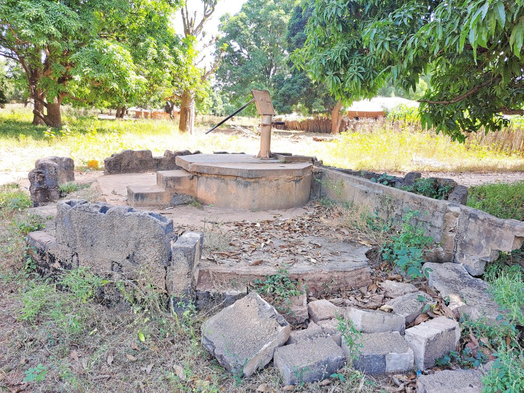
New cylinder, conversion head, dewatering and sanitizing well, 2 meters re-digging, rod couplings. 6 stainless steel pipes, 6 centralizers, and hand washing station, the contractor will construct a new trough for the village ruminants to drink from, which will help the community economically
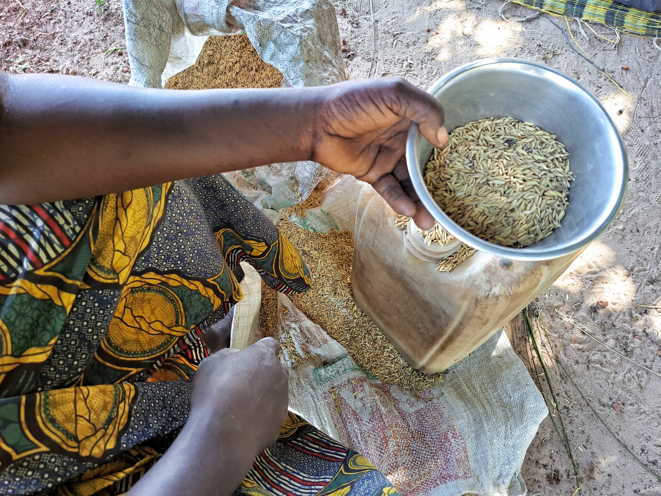
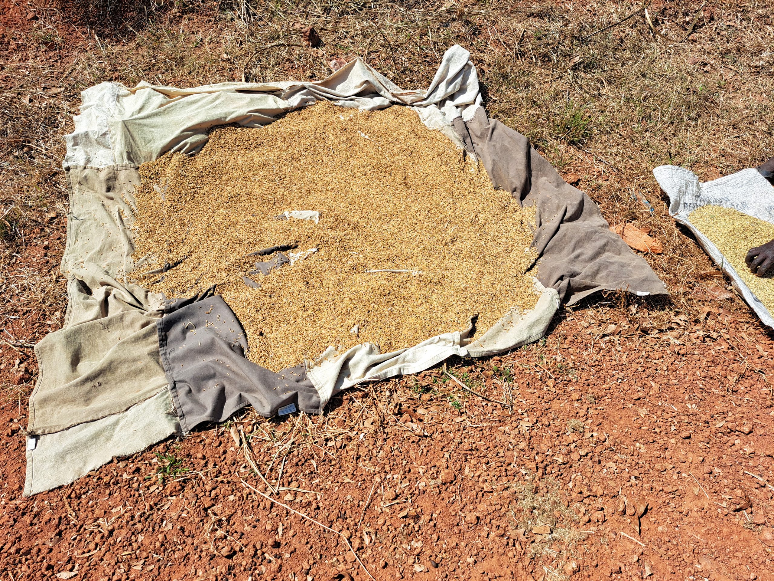
Kabokorr village is situated east of Tampoto, and west of Killy Village along the Trans-Gambia South Bank Road. The community consists of Jola and Mandinka tribes living harmoniously together. The community is a subsistence farming community, growing groundnut, millet, and rice. Rice remains the most commonly grown food in the community, especially among women who sell the proceeds for the sustenance of their families and certain social functions. The Village has been suffering from a lack of clean drinking water due to a large number of people within the community, especially during the rainy season when their open wells got damaged by rain runoff. The current water source is not enough to serve the entire village.

6. KANUMA VILLAGE
GPS: N13°13.822 W016°16.441
Population: 400
1 Conversion head, 1 new cylinder, check-nuts, rod couplings, 5 centralizers, hand washing station, the contractor will construct a new water trough for the village ruminants to drink from, which will help the community economically.
Kanuma Village is located about 5 km north of Tampoto along the Trans-Gambia South Bank Road. It is a Mandinka tribe community of roughly 400 people. They are the descendants of the Biyayi clan who migrated from the ancient Kaabu Kingdom. The village is a historical place for several Manneh, Sanneh and Sanyang families. The community is a subsistence farming community growing groundnut, millet and corn. It is well known for producing traditional farming implements like “doumo and kobirango”. The community’s water source has broken down for a long while now, as a result, the community is currently depending on neighboring villages of Nyangit for water, which is about 2 kilometers away and they are often given a frown face there anytime they come collecting water. This has often resulted in scuffles and quarrels between the two neighboring communities.


7. BUNIADOU VILLAGE
GPS: N13°12.051 W016°11.822
Population: 250
1 conversion, 3 meters extra re-digging, 3 culverts, dewatering and sanitizing the well, ground concrete fortification, concrete slab, 1 stainless steel pipe, hand washing station. The contractor will construct a new trough for the village ruminants to drink from, which will help the community economically
Buniadou village is located on the outskirts of Sibanor along the Trans-Gambia South Bank Road. It is a Fula tribe community that migrated from the East of the country in search of pasture and better life. The community is a subsistence farming community growing groundnut, millet, and rearing of animals notably cows for sustenance. The community has only one water source which has been broken for a long time and they currently depend on Sibanor and other open wells for drinking. This water crisis has led to illness among the community members as some of them consume contaminated open well waters.
8. KILLY VILLAGE
GPS: N13°12.422 W016°13.942
Population: 950
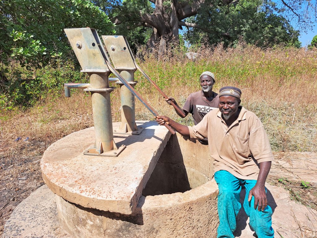
New cylinder, 1 conversion head, rod couplings (stainless steel), dewatering and sanitizing the well, plus hand washing station. The contractor will construct a new trough for the village ruminants to drink from, which will help the community economically
Killy village is located along the Trans-Gambia south bank road. The community consists of the Jola and Mandinka tribes. The community depends on subsistence farming mainly growing groundnut, millet, and corn. Women also collect traditional medicinal herbs from the bush and usually sell them at weekly markets called “Loumo”. This helps in household sustenance and other social activities. The community is facing a severe water crisis as the current water source is not enough for the community leading to so many households depending on contaminated open wells which have serious health effects on their health. The refugee crisis earlier in the year when war broke out in the Cassamance, also put a heavy burden on the community’s water issue.

9. BAJAGAR VILLAGE
GPS: N13°12.054 W016°07.259
Population: 700
2 Conversion heads, 2 new cylinders, concrete slab, de-watering and sanitizing well, hand washing station, new concrete slab. The contractor will construct a new water trough for the village ruminants to drink from, which will help the community economically.
Bajagar is the last village within the Foni Bintang Karenai district bordering Foni Kansala District. It is located along the Trans-Gambia South Bank Road. The community has tremendous history and culture, especially among the Jola tribesmen. The traditional Jola initiation festival called “Futampaf’’ is also popular in this village dating back centuries ago. The community is faced with a water crisis as the current water source is not enough. This has led to many people using contaminated open wells which has detrimental health effects. The recent rainy season has caused the collapse of wells due to heavy downpours and erosion.
10. BATENDENG VILLAGE
GPS: N13°15.358 W016°18.927
Population: 350
1 New cylinder, 1 conversion head, dewatering and sanitizing well, rod couplings. 1 stainless steel pipe, 6 centralizers, hand washing station, the contractor will construct a new trough for the village ruminants to drink from, which will help the community economically
This Village is located about 8km north of Somita Village along the Trans-Gambia South Bank Road. The community is a Mandinka tribe settlement. It is a remote community and a subsistence farming one as well, growing groundnut, millet, and corn. The Village has been suffering from a lack of water since its water source has been broken for a long time. As a result, the community sorted to using open wells which makes some people sick, especially among women and children. This has affected their daily life too.
![]()
This project has been completed. To read details about the beginning of the project, CLICK HERE. To read details about the conclusion report, CLICK HERE.